Medium airport · India
Sri Sathya Sai AirportVOPN
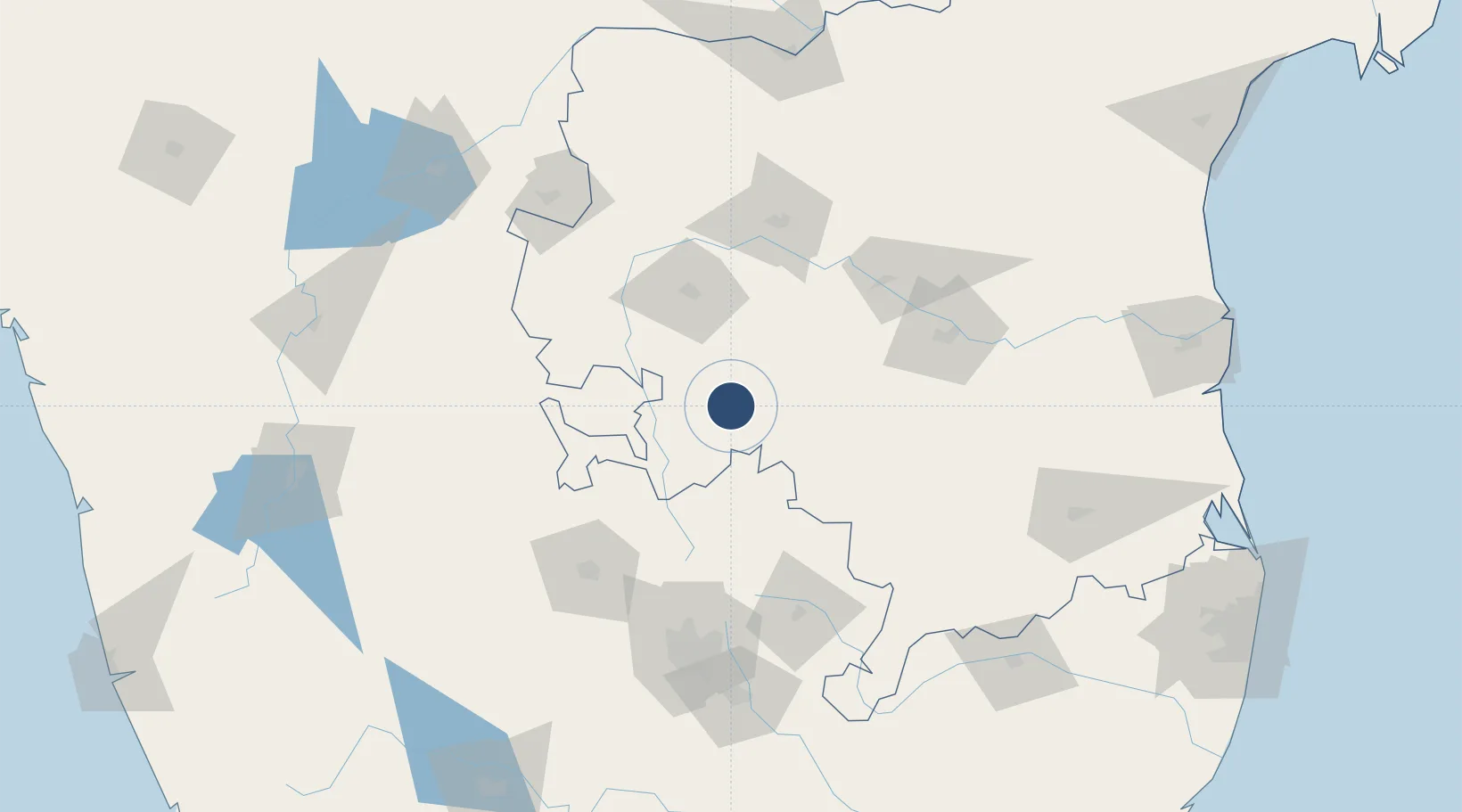
14.1493°, 77.7911°
7,315 ft
Longest runway
1
Runways
1,558 ft
Elevation
Runway & Layout

Radio Frequencies
TWR
118.4 MHz
Navaids
SAI NDB Sri Sathya Sai 241 kHz
Runways · 1
| Runway | Dimensions | Surface | True heading | Lit |
|---|---|---|---|---|
| 09/27 | 7,315 × 145ft | Asphalt | 093° | ✓ |
Airport Specifications
IATA code
PUT
ICAO code
VOPN
Airport class
Medium airport
Scheduled service
No
Runway surface
Asphalt
Served city
Puttaparthi
Location
Nearby Logistics Neighbours
Airports
- 1Kempegowda International Airport Bengaluru106 km
- 2Kadapa Airport113 km
- 3Jakkur Aerodrome121 km
- 4HAL Airport134 km
- 5Bellary Airport149 km
Cities
- 1Hindupur50 km
- 2Pulivendula56 km
- 3Anantapur63 km
- 4Wipro Sez/Kodathi87 km
- 5Modern Asset Sezi/Yelahanka Hobli118 km
Ports
- 1Kattupalli Port253 km
- 2Kamarajar Port293 km
- 3Chennai (Madras)295 km
- 4Pondicherry331 km
- 5Cuddalore345 km
Trade Zones
- 1Indus Gene Expressions Limited38 km
- 2Kiadb Aerospace SEZ109 km
- 3Larsen And Toubro SEZ124 km
- 4Manyata Embassy Business Park SEZ124 km
- 5Karle Infra Pojects124 km
DatabookThe Record of Consolidated Knowledge
India beyond logistics?