Medium airport · India

Pondicherry AirportVOPC
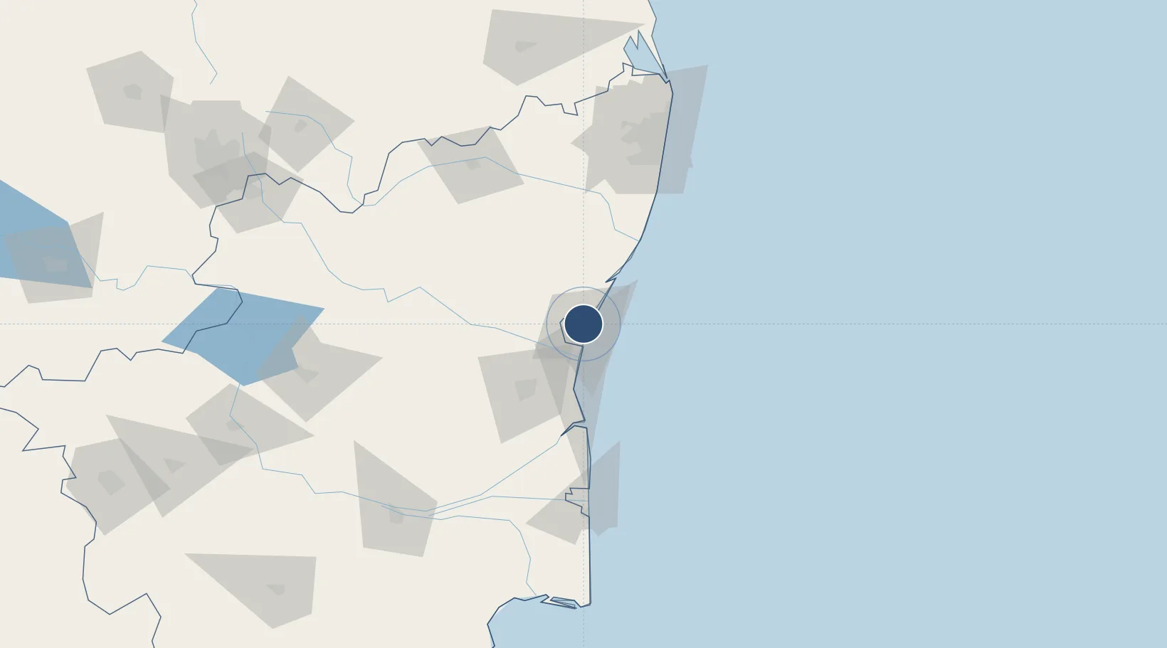
11.9680°, 79.8120°
4,921 ft
Longest runway
1
Runways
134 ft
Elevation

Runway & Layout

Pondicherry Airport runway & taxiway layout
Runway & taxiway layout — OpenStreetMap (ODbL) / OurAirports

Radio Frequencies

Tower
122.9 MHz
OurAirports

Navaids

OM NDB Pondicherry 385 kHz
OurAirports

Runways · 1

RunwayDimensions SurfaceTrue headingLit
07/25 4,921 × 100ft Asphalt 068°
OurAirports

Airport Specifications

IATA code
PNY
OurAirports
ICAO code
VOPC
OurAirports
Airport class
Medium airport
OurAirports
Scheduled service
Yes
OurAirports
Runway surface
Asphalt
OurAirports
Served city
Puducherry (Pondicherry)
OurAirports

Location

Location of VOPC
Natural Earth 10m (public domain) · Tamil Nadu · VOPC · 11.97, 79.81GoogleOSMYandex

Nearby Logistics Neighbours

Airports
  1. 1Chennai International Airport120 km
  2. 2Tiruchirappalli International Airport179 km
  3. 3Tirupati International Airport187 km
  4. 4Salem Airport191 km
  5. 5Jaffna International Airport244 km
Nearest neighbours — logibook spatial index (haversine) over the source coordinates
Cities
  1. 1Pondicherry6 km
  2. 2Chidambaram64 km
  3. 3MWCDL-Apparels-SEZ/Chengalpattu84 km
  4. 4MWCDL-IT-SEZ/Chengalpattu84 km
  5. 5MWCDL-Auto-Ancillaries-SEZ/Chengalpattu84 km
Nearest neighbours — logibook spatial index (haversine) over the source coordinates
Ports
  1. 1Pondicherry5 km
  2. 2Cuddalore28 km
  3. 3Karaikal Port126 km
  4. 4Nagappattinam134 km
  5. 5Chennai (Madras)137 km
Nearest neighbours — logibook spatial index (haversine) over the source coordinates
DatabookThe Record of Consolidated Knowledge
India beyond logistics?
Browse databook

All Sources

AirportsOurAirports
Public domain
Portsthe NGA World Port Index
Public domain (US gov)
LocationsUN/LOCODE
UN/LOCODE — free
Trade Zonesthe World Bank SEZ database
CC BY 4.0
Trade ZonesOpen Zone Map
CC BY
InfrastructureOpenStreetMap
ODbL 1.0
← India airports