Transport Functions
Multimodal
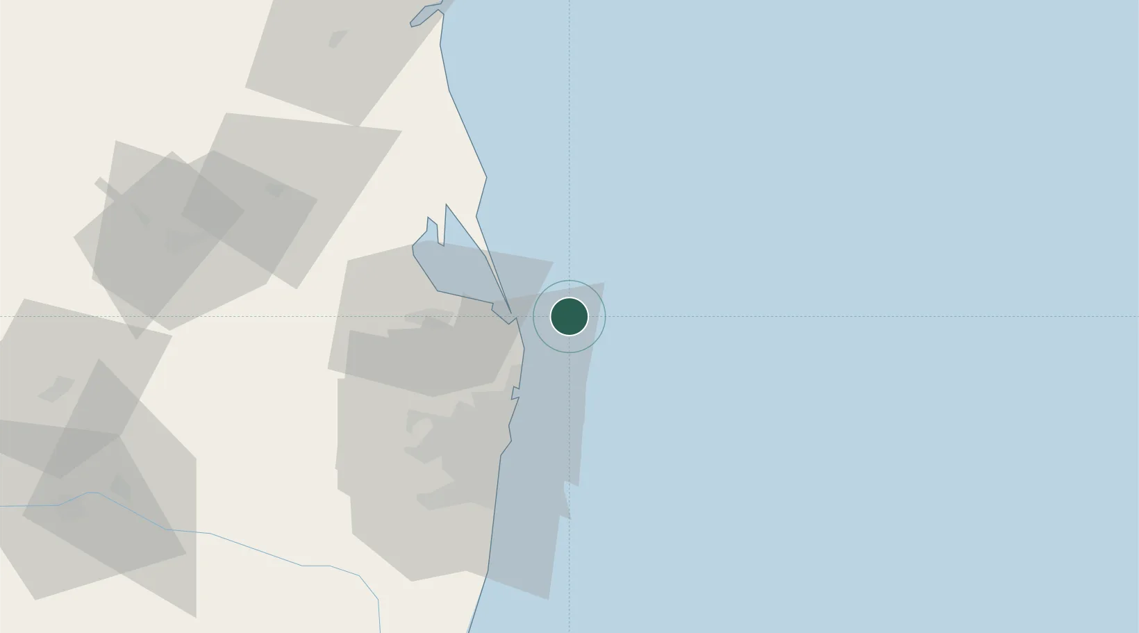
Hub Profile
Region
TN
Location
Nearby Logistics Neighbours
Cities
- 1Kattupalli Port17 km
- 2Ennore23 km
- 3Mylapore31 km
- 4Kattupalli33 km
- 5Chennai (ex Madras)39 km
Ports
- 1Kamarajar Port23 km
- 2Chennai (Madras)41 km
- 3Kattupalli Port98 km
- 4Pondicherry180 km
- 5Cuddalore205 km
Airports
- 1Chennai International Airport59 km
- 2Tirupati International Airport103 km
- 3Pondicherry Airport178 km
- 4Kadapa Airport219 km
- 5Sri Sathya Sai Airport300 km
Trade Zones
DatabookThe Record of Consolidated Knowledge
India beyond logistics?