Specialized Zone · India
Hetero Infrastructure Private Limited, Vskp Active
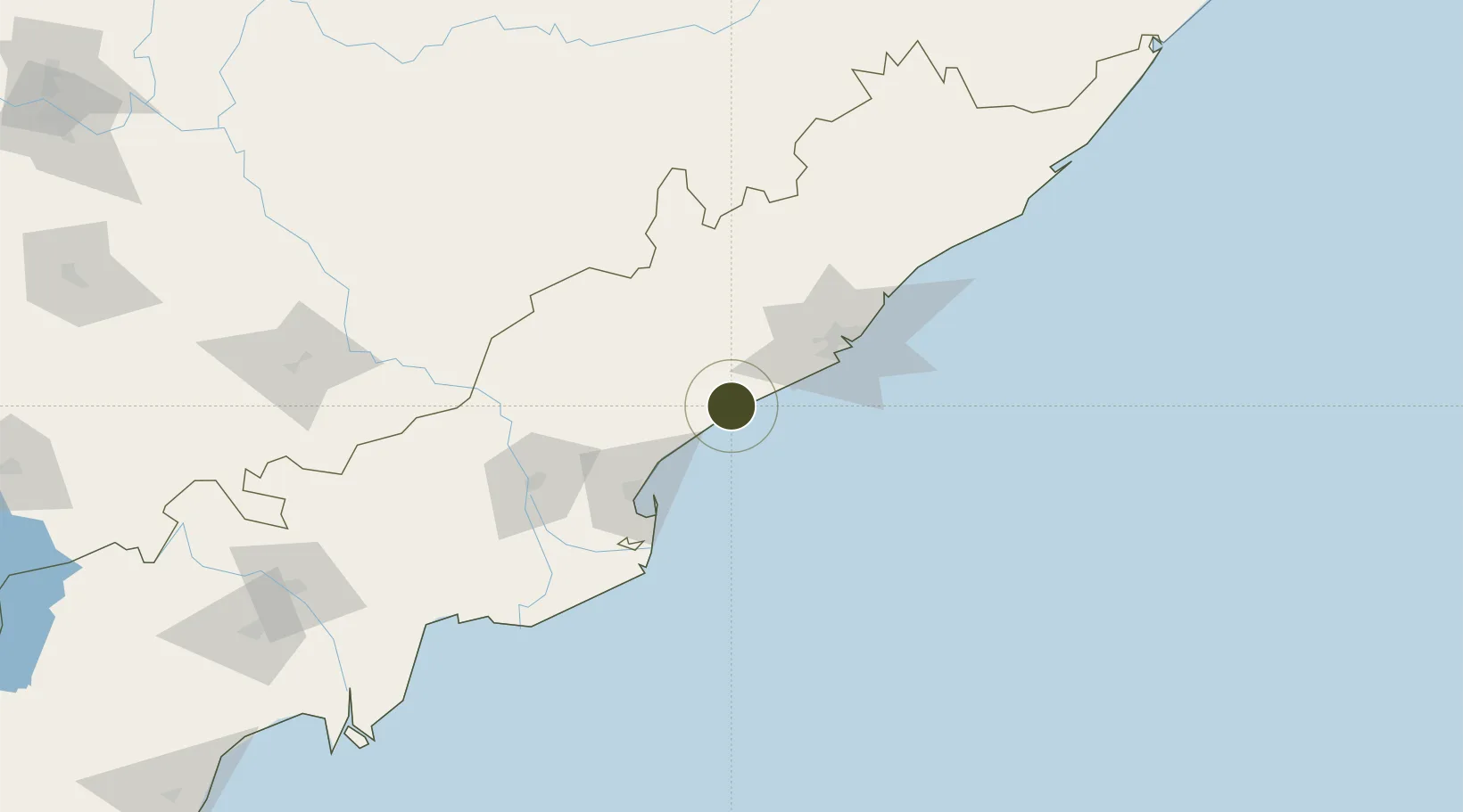
17.3801°, 82.7216°
13 ha
Zone area
60.3 km
Nearest port
65.9 km
Nearest airport
Gateway access
Zone profile
Zone type
Specialized Zone
Specialization
Biotech
Region
Andhra Pradesh
Status
Active
Management
Private
Operator
Hetero drugs limited
Legal framework
LoA No.22/7(2)/VSEZ/2007 dt.26.12.2007
Location
Nearby Logistics Neighbours
Ports
- 1Kakinada Bay60 km
- 2Gangavaram63 km
- 3Vishakhapatnam70 km
- 4Gopalpur319 km
- 5Kattupalli Port445 km
Airports
- 1Visakhapatnam International Airport66 km
- 2Rajahmundry Airport101 km
- 3Jagdalpur Airport202 km
- 4Vijayawada International Airport225 km
- 5Utkela Airport306 km
Cities
- 1Gangavaram61 km
- 2Visakhapatnam66 km
- 3Kakinada66 km
- 4Samalkot68 km
- 5BIACPL SEZ/Visakhapatnam71 km
DatabookThe Record of Consolidated Knowledge
India beyond logistics?