Transport Functions
Port
Rail
Road
Multimodal
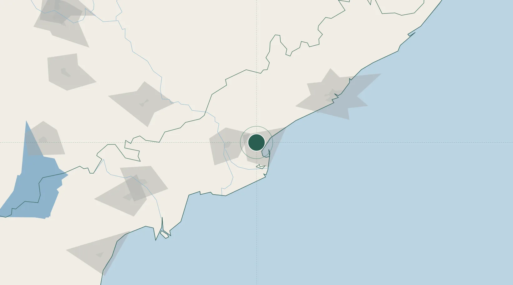
Hub Profile
Place type
Populated place
Region
Andhra Pradesh
Population
56,864
Time zone
Asia/Kolkata
Elevation
19 m
Location
Nearby Logistics Neighbours
Cities
- 1Kspl-SEZ/Kakinada13 km
- 2Picpl-SEZ/Kakinada13 km
- 3Kakinada14 km
- 4WFPML-SEZ/Kovvur48 km
- 5Bhimavaram90 km
Ports
- 1Kakinada Bay15 km
- 2Gangavaram131 km
- 3Vishakhapatnam138 km
- 4Kattupalli Port381 km
- 5Gopalpur386 km
Airports
- 1Rajahmundry Airport40 km
- 2Visakhapatnam International Airport134 km
- 3Vijayawada International Airport158 km
- 4Jagdalpur Airport226 km
- 5Utkela Airport355 km
DatabookThe Record of Consolidated Knowledge
India beyond logistics?