Large airport · India

Visakhapatnam International AirportVEVZ
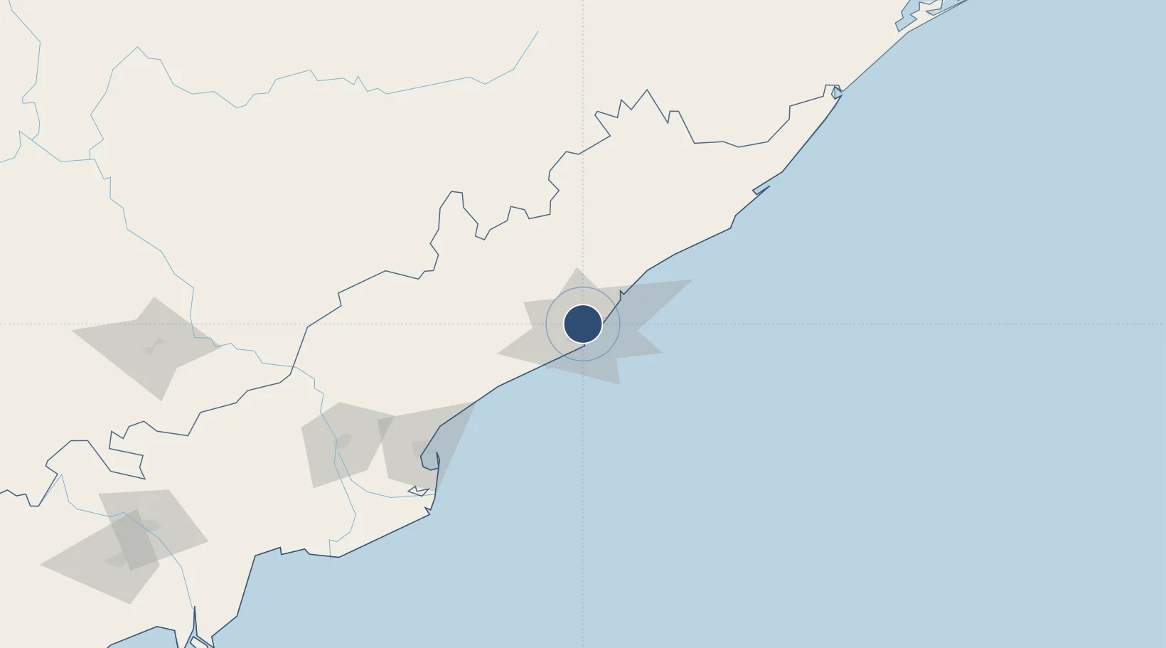
17.7235°, 83.2277°
10,007 ft
Longest runway
2
Runways
15 ft
Elevation

Runway & Layout

Visakhapatnam International Airport runway & taxiway layout
Runway & taxiway layout — OpenStreetMap (ODbL) / OurAirports

Radio Frequencies

TWR
119.7 MHz
APP
123.5 MHz
A/G
658.3 MHz
RDO
OurAirports

Runways · 2

RunwayDimensions SurfaceTrue headingLit
10/28 10,007 × 148ft ASPHALT 096°
05/23 6,000 × 150ft Asphalt 048°
OurAirports

Airport Specifications

IATA code
VTZ
OurAirports
ICAO code
VOVZ
OurAirports
Airport class
Large airport
OurAirports
Scheduled service
Yes
OurAirports
Runway surface
ASPHALT
OurAirports
Served city
Visakhapatnam
OurAirports

Location

Location of VEVZ
Natural Earth 10m (public domain) · Andhra Pradesh · VEVZ · 17.72, 83.23GoogleOSMYandex

Nearby Logistics Neighbours

Airports
  1. 1Rajahmundry Airport165 km
  2. 2Jagdalpur Airport196 km
  3. 3Utkela Airport264 km
  4. 4Vijayawada International Airport290 km
  5. 5Biju Patnaik International Airport391 km
Nearest neighbours — logibook spatial index (haversine) over the source coordinates
Cities
  1. 1Visakhapatnam3 km
  2. 2BIACPL SEZ/Visakhapatnam8 km
  3. 3APIICL SEZ/Visakhapatnam8 km
  4. 4RPCIPL SEZ/Visakhapatnam8 km
  5. 5Aal-SEZ/Vishakhapatnam8 km
Nearest neighbours — logibook spatial index (haversine) over the source coordinates
Ports
  1. 1Vishakhapatnam9 km
  2. 2Gangavaram10 km
  3. 3Kakinada Bay126 km
  4. 4Gopalpur254 km
  5. 5Paradip460 km
Nearest neighbours — logibook spatial index (haversine) over the source coordinates
Trade Zones
  1. 1Visakhapatnam Special Economic Zone8 km
  2. 2CMC Limited8 km
  3. 3Jawaharlal Nehru Pharma City, Ramky Pharma City (India) Pvt. Ltd, Vskp.15 km
  4. 4Jawaharlal Nehru Pharma City17 km
  5. 5M S. Apiic Ltd., Naidupeta18 km
Nearest neighbours — logibook spatial index (haversine) over the source coordinates
DatabookThe Record of Consolidated Knowledge
India beyond logistics?
Browse databook

All Sources

AirportsOurAirports
Public domain
Portsthe NGA World Port Index
Public domain (US gov)
LocationsUN/LOCODE
UN/LOCODE — free
Trade Zonesthe World Bank SEZ database
CC BY 4.0
Trade ZonesOpen Zone Map
CC BY
InfrastructureOpenStreetMap
ODbL 1.0
← India airports