UN/LOCODE hub · India
INCOP

Picpl-SEZ/Kakinada

16.9333°, 82.2167°
1
Transport functions

Transport Functions

Multimodal
UN/LOCODE

Hub Profile

Region
AP
GeoNames

Location

Location of INCOP
Natural Earth 10m (public domain) · AP · INCOP · 16.93, 82.22GoogleOSMYandex

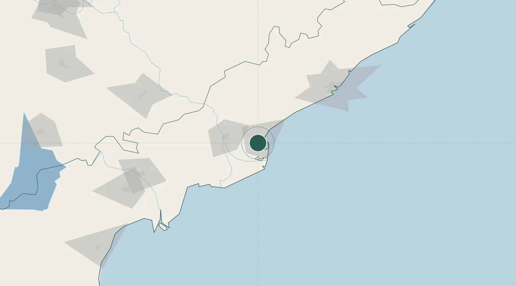
Nearby Logistics Neighbours

Cities
  1. 1Kspl-SEZ/Kakinada0 km
  2. 2Kakinada8 km
  3. 3Samalkot13 km
  4. 4WFPML-SEZ/Kovvur52 km
  5. 5Bhimavaram85 km
Nearest neighbours — logibook spatial index (haversine) over the source coordinates
Ports
  1. 1Kakinada Bay13 km
  2. 2Gangavaram135 km
  3. 3Vishakhapatnam142 km
  4. 4Kattupalli Port373 km
  5. 5Gopalpur392 km
Nearest neighbours — logibook spatial index (haversine) over the source coordinates
Airports
  1. 1Rajahmundry Airport47 km
  2. 2Visakhapatnam International Airport139 km
  3. 3Vijayawada International Airport157 km
  4. 4Jagdalpur Airport239 km
  5. 5Utkela Airport366 km
Nearest neighbours — logibook spatial index (haversine) over the source coordinates
Trade Zones
  1. 1Apiic It SEZ Kakinada8 km
  2. 2Parry Infrastructure Company Private Limited9 km
  3. 3Whitefield Paper Mills Ltd.69 km
  4. 4Hetero Infrastructure Private Limited, Vskp73 km
  5. 5Brandix India Apparel City Private Ltd., Vskp105 km
Nearest neighbours — logibook spatial index (haversine) over the source coordinates
DatabookThe Record of Consolidated Knowledge
India beyond logistics?
Browse databook

All Sources

LocationsUN/LOCODE
UN/LOCODE — free
Portsthe NGA World Port Index
Public domain (US gov)
AirportsOurAirports
Public domain
Trade Zonesthe World Bank SEZ database
CC BY 4.0
Trade ZonesOpen Zone Map
CC BY
← India locations