UN/LOCODE hub · India
INKAK
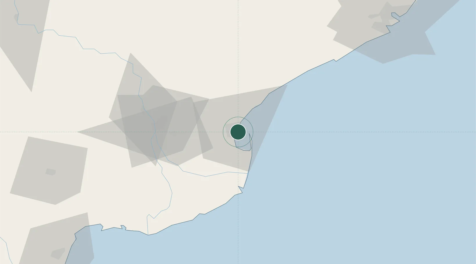
Kakinada
16.9636°, 82.2794°
384,182
Population
2
Transport functions
1
Container terminals
Transport Functions
Port
Multimodal
Hub Profile
Place type
Populated place
Region
Andhra Pradesh
Population
384,182
Time zone
Asia/Kolkata
Elevation
6 m
Logistics facilities
1
Container terminals
1
Location
Nearby Logistics Neighbours
Cities
- 1Kspl-SEZ/Kakinada8 km
- 2Picpl-SEZ/Kakinada8 km
- 3Samalkot14 km
- 4WFPML-SEZ/Kovvur58 km
- 5Bhimavaram93 km
Ports
- 1Gangavaram127 km
- 2Vishakhapatnam135 km
- 3Kattupalli Port379 km
- 4Gopalpur385 km
- 5Kamarajar Port461 km
Airports
- 1Rajahmundry Airport52 km
- 2Visakhapatnam International Airport131 km
- 3Vijayawada International Airport164 km
- 4Jagdalpur Airport236 km
- 5Utkela Airport361 km
DatabookThe Record of Consolidated Knowledge
India beyond logistics?