Runway & Layout

Airport Specifications
IATA code
JGB
ICAO code
VEJR
Airport class
Small airport
Scheduled service
Yes
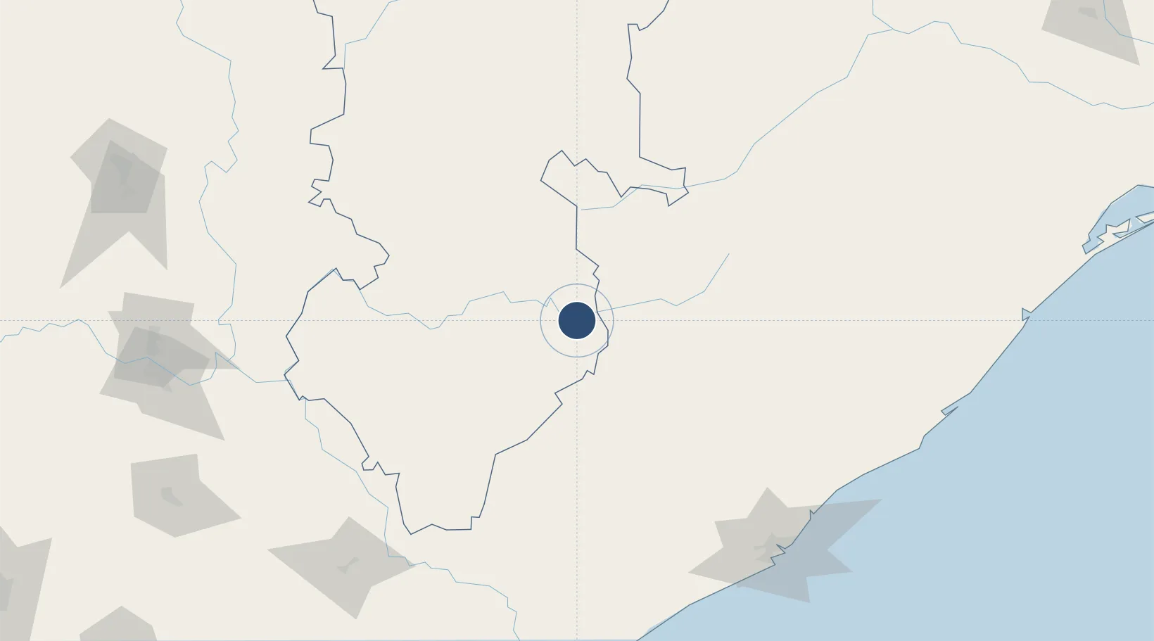
Served city
Jagdalpur
Location
Nearby Logistics Neighbours
Airports
- 1Utkela Airport166 km
- 2Visakhapatnam International Airport196 km
- 3Rajahmundry Airport220 km
- 4Swami Vivekananda Airport236 km
- 5Vijayawada International Airport312 km
Cities
- 1Visakhapatnam199 km
- 2Ranasthalam199 km
- 3Wipro Sez/Resapuvanipalem201 km
- 4BIACPL SEZ/Visakhapatnam203 km
- 5APIICL SEZ/Visakhapatnam203 km
Ports
- 1Vishakhapatnam204 km
- 2Gangavaram205 km
- 3Kakinada Bay233 km
- 4Gopalpur309 km
- 5Paradip504 km
DatabookThe Record of Consolidated Knowledge
India beyond logistics?