Runway & Layout

Airport Specifications
IATA code
UKE
Airport class
Small airport
Scheduled service
Yes
Served city
Bhawanipatna
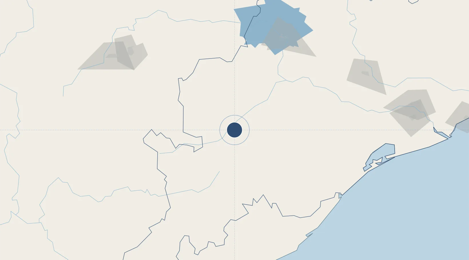
Location
Nearby Logistics Neighbours
Airports
- 1Jagdalpur Airport166 km
- 2Swami Vivekananda Airport193 km
- 3Jharsuguda Airport221 km
- 4Bilaspur Airport238 km
- 5Visakhapatnam International Airport264 km
Cities
- 1Orissa114 km
- 2Raipur190 km
- 3Palasa197 km
- 4Lapanga201 km
- 5Vedanta SEZ/Jharsuguda212 km
Ports
- 1Gopalpur207 km
- 2Vishakhapatnam269 km
- 3Gangavaram274 km
- 4Kakinada Bay356 km
- 5Paradip366 km
Trade Zones
DatabookThe Record of Consolidated Knowledge
India beyond logistics?