Transport Functions
Port
Rail
Road
Hub Profile
Place type
Urban district
Region
West Bengal
Time zone
Asia/Kolkata
Elevation
11 m
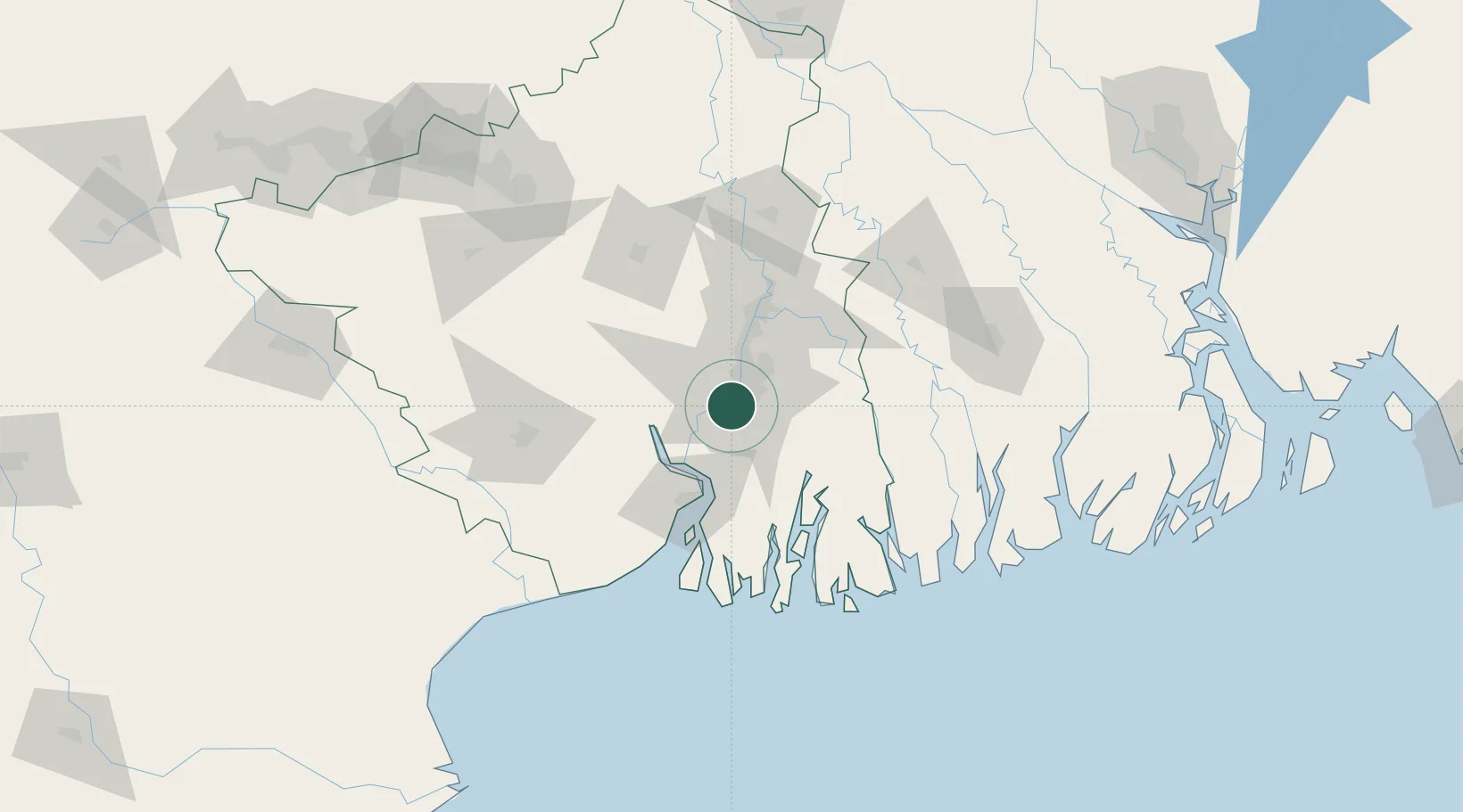
Location
Nearby Logistics Neighbours
Cities
- 1Alipore2 km
- 2Kolkata (ex Calcutta)3 km
- 3Kolkata IT Park/Bantala9 km
- 4Wipro SEZ/Kolkata9 km
- 5Howrah10 km
Ports
- 1Calcutta5 km
- 2Haldia Port60 km
- 3Mongla134 km
- 4Dhamra234 km
- 5Paradip301 km
Airports
- 1Netaji Subhash Chandra Bose International Airport22 km
- 2Jessore Airport115 km
- 3Panagarh Air Force Station139 km
- 4Kazi Nazrul Islam Airport164 km
- 5Ishurdi Airport197 km
Trade Zones
DatabookThe Record of Consolidated Knowledge
India beyond logistics?