UN/LOCODE hub · India
INAPR

Alipore

22.5167°, 88.3167°
2
Transport functions

Transport Functions

Rail
Road
UN/LOCODE

Hub Profile

Region
WB
GeoNames

Location

Location of INAPR
Natural Earth 10m (public domain) · WB · INAPR · 22.52, 88.32GoogleOSMYandex

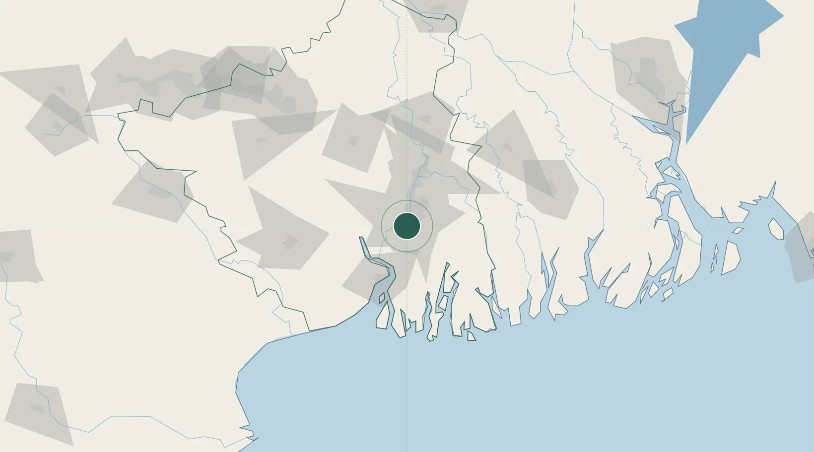
Nearby Logistics Neighbours

Cities
  1. 1Garden Reach2 km
  2. 2Kolkata (ex Calcutta)2 km
  3. 3Kolkata IT Park/Bantala8 km
  4. 4Wipro SEZ/Kolkata8 km
  5. 5Howrah11 km
Nearest neighbours — logibook spatial index (haversine) over the source coordinates
Ports
  1. 1Calcutta4 km
  2. 2Haldia Port61 km
  3. 3Mongla132 km
  4. 4Dhamra235 km
  5. 5Paradip302 km
Nearest neighbours — logibook spatial index (haversine) over the source coordinates
Airports
  1. 1Netaji Subhash Chandra Bose International Airport20 km
  2. 2Jessore Airport114 km
  3. 3Panagarh Air Force Station140 km
  4. 4Kazi Nazrul Islam Airport165 km
  5. 5Ishurdi Airport197 km
Nearest neighbours — logibook spatial index (haversine) over the source coordinates
Trade Zones
  1. 1M.L. Dalmiya and Company Limited5 km
  2. 2M.L. Dalmiya & Co Ltd.5 km
  3. 3Falta Special Economic Zone7 km
  4. 4Salt Lake Electronic City13 km
  5. 5Manikanchan Special Economic Zone13 km
Nearest neighbours — logibook spatial index (haversine) over the source coordinates
DatabookThe Record of Consolidated Knowledge
India beyond logistics?
Browse databook

All Sources

LocationsUN/LOCODE
UN/LOCODE — free
Portsthe NGA World Port Index
Public domain (US gov)
AirportsOurAirports
Public domain
Trade Zonesthe World Bank SEZ database
CC BY 4.0
Trade ZonesOpen Zone Map
CC BY
← India locations