Transport Functions
Rail
Road
Multimodal
Hub Profile
Region
WB
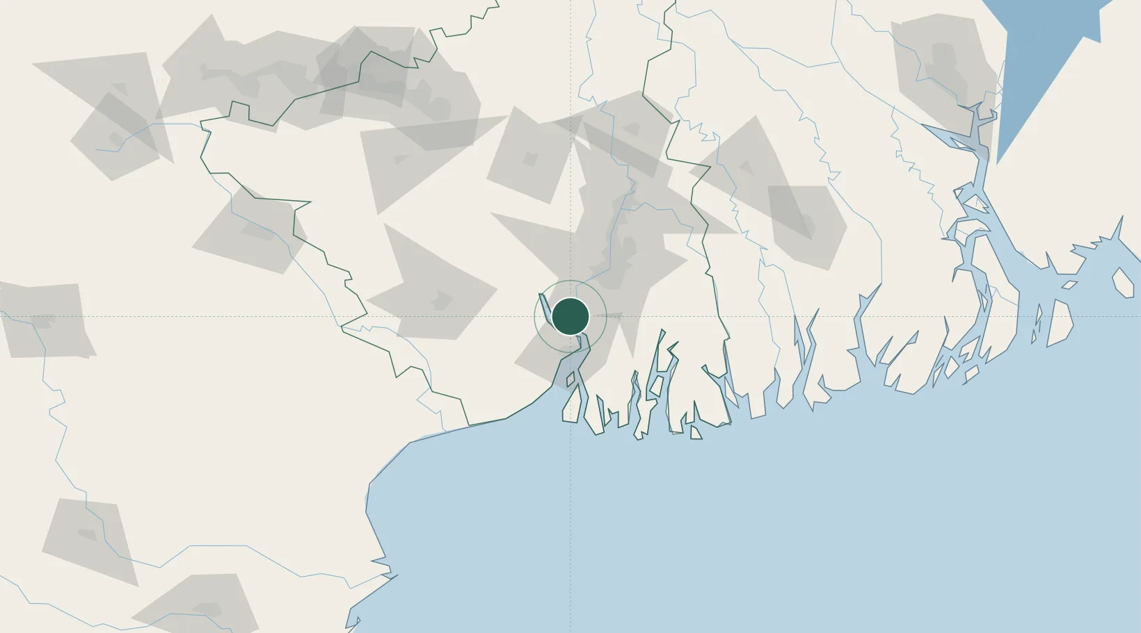
Location
Nearby Logistics Neighbours
Cities
- 1Haldia20 km
- 2Garden Reach33 km
- 3Alipore34 km
- 4Kolkata (ex Calcutta)36 km
- 5Howrah39 km
Ports
- 1Haldia Port30 km
- 2Calcutta38 km
- 3Mongla156 km
- 4Dhamra201 km
- 5Paradip268 km
Airports
- 1Netaji Subhash Chandra Bose International Airport55 km
- 2Jessore Airport148 km
- 3Panagarh Air Force Station149 km
- 4Kazi Nazrul Islam Airport173 km
- 5Sonari Airport207 km
Trade Zones
DatabookThe Record of Consolidated Knowledge
India beyond logistics?