UN/LOCODE hub · India
INHAL
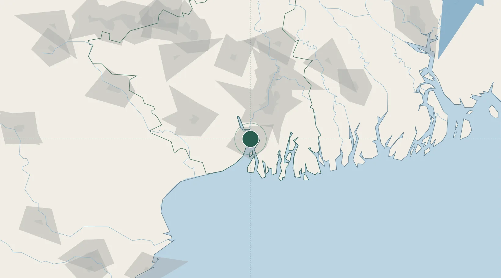
Haldia
22.1047°, 88.0952°
170,695
Population
1
Transport functions
1
Container terminals
Transport Functions
Port
Hub Profile
Place type
Populated place
Region
West Bengal
Population
170,695
Time zone
Asia/Kolkata
Elevation
6 m
Logistics facilities
16
Container terminals
1
Location
Nearby Logistics Neighbours
Cities
- 1Falta20 km
- 2Garden Reach50 km
- 3Alipore51 km
- 4Kolkata (ex Calcutta)53 km
- 5Howrah58 km
Ports
- 1Calcutta55 km
- 2Mongla160 km
- 3Dhamra185 km
- 4Paradip251 km
- 5Chittagong384 km
Airports
- 1Netaji Subhash Chandra Bose International Airport71 km
- 2Jessore Airport162 km
- 3Panagarh Air Force Station167 km
- 4Kazi Nazrul Islam Airport190 km
- 5Sonari Airport213 km
Trade Zones
DatabookThe Record of Consolidated Knowledge
India beyond logistics?