Seaport · Bangladesh
ChittagongBDCGP
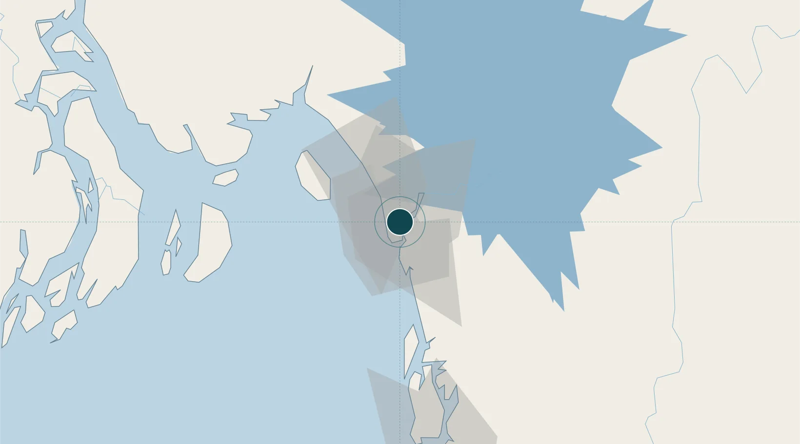
22.3167°, 91.8167°
4.9 m
Channel depth
4
Container terminals
202.8
Port liner connectivity
Channel & Berth Profile
Pilotage, Tugs & Services
Pilotage compulsoryYES
Pilotage availableYES
Pilotage advisableYES
Local assistanceYES
Tug assistanceYES
Shore powerNO
Potable waterYES
Diesel bunkersYES
MedicalYES
Garbage disposalNO
Facilities & Capabilities
ContainerYES
Ro-RoYES
Liquid bulkYES
Dry bulkYES
Oil terminalYES
Break bulkYES
Dry dockNO
RepairsNO
BunkeringYES
Rail linkYES
Dangerous cargo—
ISPS security—
Harbour Specifications
Harbour size
Medium
Harbour type
River (Natural)
Shelter
Good
Water body
Bay of Bengal; Indian Ocean
Tidal range
3 m
Pilotage
Yes
Liner Connectivity
202.8
PLSCI
Port Liner Shipping Connectivity Index for Chittagong, as published by UNCTAD for the latest available quarter. Higher values indicate stronger scheduled liner-shipping integration.
Shown relative to the highest per-port PLSCI in the dataset (1,657.9).
Location
Container Terminals · 4
CHITTAGONG CONTAINER TERMINALS (CCT)
CCT SAIF POWERTEC LTD
GENERAL CARGO BERTH (GCB)
GCB A&J TRADERS/FQ KAHN/FAZLI &SONS/EVEREST SERVICES LTD/BASHIR AHMED/MH CHY
NEW MOORING CONTAINER TERMINAL (NCT)
NCT CHITTAGONG DRY DOCK LIMITED (CDDL)
PATENGA CONTAINER TERMINAL
PCT RED SEA GATEWAY TERMINAL BANGLADESH LTD
Nearby Logistics Neighbours
Ports
- 1Mongla229 km
- 2Sittwe268 km
- 3Calcutta359 km
- 4Haldia Port386 km
- 5Dhamra529 km
Cities
- 1Payra Port165 km
- 2Narayanganj193 km
- 3Munshiganj193 km
- 4Panchashar194 km
- 5Pangaon204 km
Airports
- 1Shah Amanat International Airport8 km
- 2Cox's Bazar Airport97 km
- 3Saiha Helipad122 km
- 4Barisal Airport165 km
- 5Agartala - Maharaja Bir Bikram Airport184 km
Trade Zones
DatabookThe Record of Consolidated Knowledge
Bangladesh beyond logistics?