UN/LOCODE hub · India
INCCU
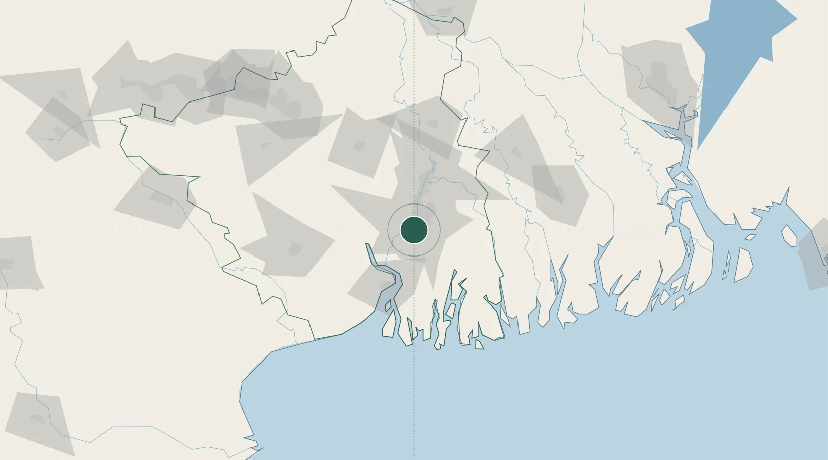
Kolkata (ex Calcutta)
22.5385°, 88.3183°
3
Transport functions
1
Container terminals
Transport Functions
Port
Airport
Postal
Hub Profile
Region
WB
Logistics facilities
64
Container terminals
1
Location
Nearby Logistics Neighbours
Cities
- 1Alipore2 km
- 2Garden Reach3 km
- 3Kolkata IT Park/Bantala6 km
- 4Wipro SEZ/Kolkata6 km
- 5Howrah9 km
Ports
- 1Haldia Port63 km
- 2Mongla132 km
- 3Dhamra237 km
- 4Paradip304 km
- 5Chittagong360 km
Airports
- 1Netaji Subhash Chandra Bose International Airport19 km
- 2Jessore Airport112 km
- 3Panagarh Air Force Station138 km
- 4Kazi Nazrul Islam Airport163 km
- 5Ishurdi Airport194 km
Trade Zones
DatabookThe Record of Consolidated Knowledge
India beyond logistics?