Medium airport · Bangladesh
Jessore AirportVGJR
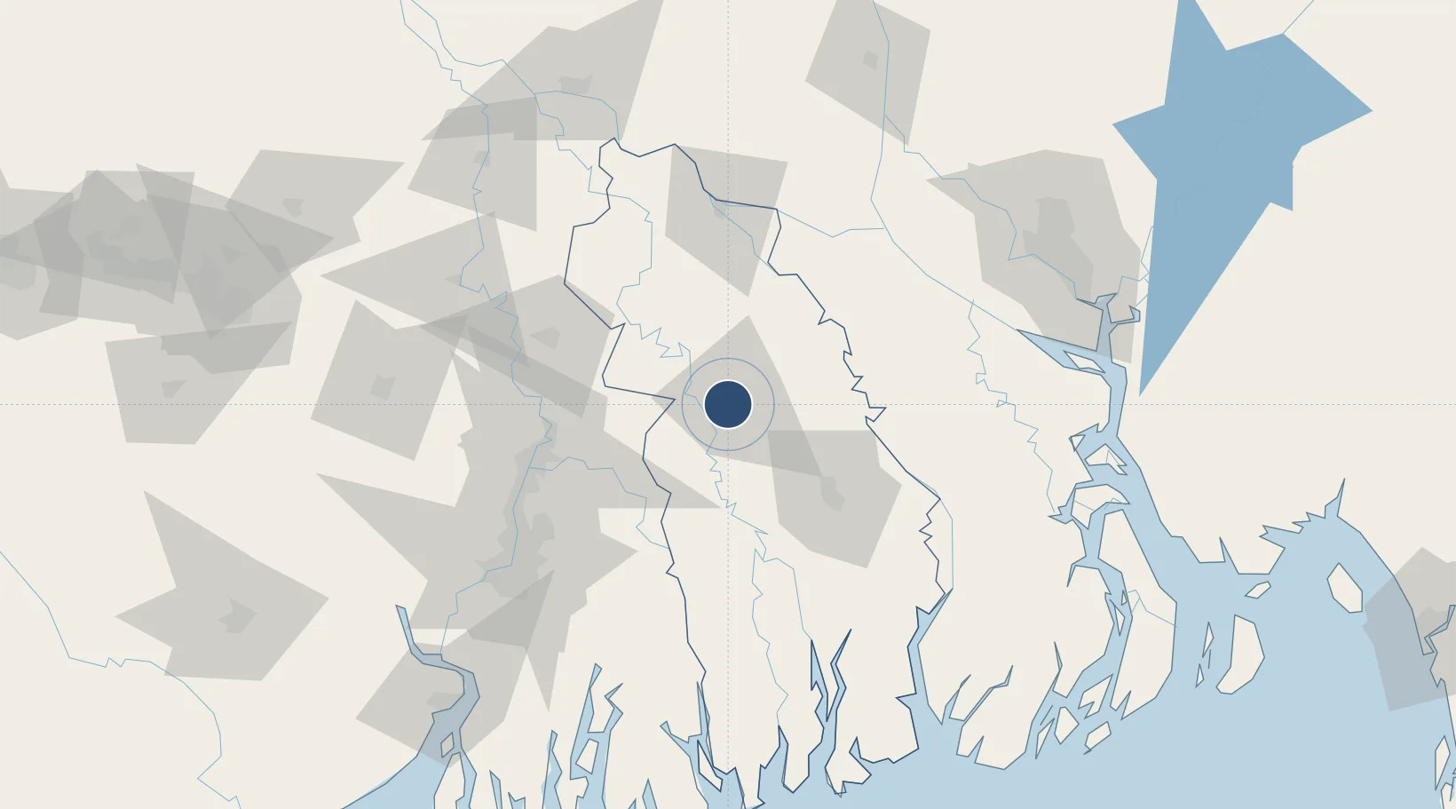
23.1838°, 89.1608°
8,000 ft
Longest runway
1
Runways
20 ft
Elevation
Runway & Layout

Radio Frequencies
TWR
123.2 MHz
Navaids
JR NDB Jessore 280 kHz
JSR VOR Jessore 113.00 MHz
Runways · 1
| Runway | Dimensions | Surface | True heading | Lit |
|---|---|---|---|---|
| 16/34 | 8,000 × 150ft | Asphalt | 158° | ✓ |
Airport Specifications
IATA code
JSR
ICAO code
VGJR
Airport class
Medium airport
Scheduled service
Yes
Runway surface
Asphalt
Served city
Jashore (Jessore)
Location
Nearby Logistics Neighbours
Airports
Cities
- 1Benapole31 km
- 2Hemnagar Lcs84 km
- 3Mongla90 km
- 4Chuadanga91 km
- 5Kolkata IT Park/Bantala106 km
Ports
- 1Mongla92 km
- 2Calcutta110 km
- 3Haldia Port171 km
- 4Chittagong289 km
- 5Dhamra347 km
Trade Zones
- 1Khulna Economic Zone - 257 km
- 2Sundarban Tourism Park58 km
- 3Khulna Economic Zone - 161 km
- 4Gopalganj Economic Zone - 271 km
- 5Rampal Economic Zone84 km
DatabookThe Record of Consolidated Knowledge
Bangladesh beyond logistics?