Transport Functions
Port
Rail
Road
Airport
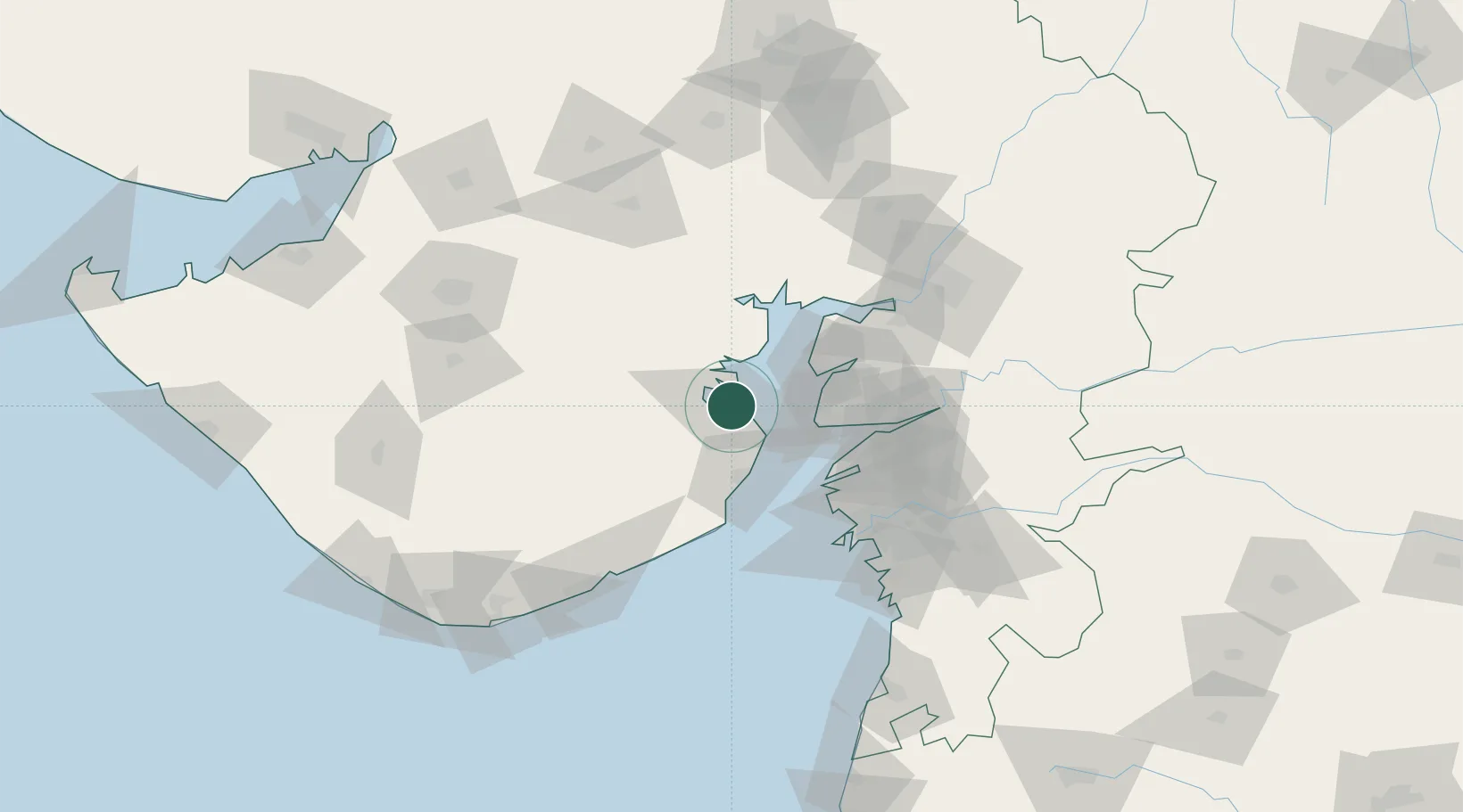
Hub Profile
Place type
Populated place
Region
Gujarat
Population
605,882
Time zone
Asia/Kolkata
Elevation
24 m
Location
Nearby Logistics Neighbours
Cities
- 1Choga17 km
- 2Mithivirdi35 km
- 3Dahez SEZ47 km
- 4Dishman-Pharmaceutical-SEZ/Kalyangadh73 km
- 5Sterling-SEZ/Bharuch86 km
Ports
- 1Dahej42 km
- 2Hazira92 km
- 3Magdalla94 km
- 4Pipavav Bandar114 km
- 5Jafarabad127 km
Airports
- 1Bhavnagar Airport6 km
- 2Surat International Airport96 km
- 3Vadodara International Airport129 km
- 4Rajkot International Airport132 km
- 5Rajkot Airport152 km
Trade Zones
DatabookThe Record of Consolidated Knowledge
India beyond logistics?