UN/LOCODE hub · India
INBHD

Dahez SEZ

21.7000°, 72.5833°
1
Transport functions

Transport Functions

Multimodal
UN/LOCODE

Hub Profile

Region
GJ
GeoNames

Location

Location of INBHD
Natural Earth 10m (public domain) · GJ · INBHD · 21.70, 72.58GoogleOSMYandex

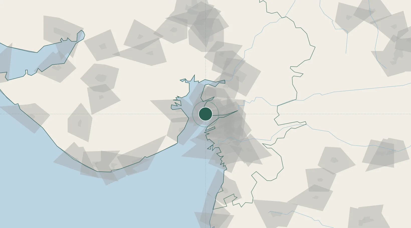
Nearby Logistics Neighbours

Cities
  1. 1Dishman-Pharmaceutical-SEZ/Kalyangadh31 km
  2. 2Choga33 km
  3. 3Sterling-SEZ/Bharuch40 km
  4. 4Bharuch40 km
  5. 5Panoli44 km
Nearest neighbours — logibook spatial index (haversine) over the source coordinates
Ports
  1. 1Dahej5 km
  2. 2Bhavnagar37 km
  3. 3Magdalla64 km
  4. 4Hazira69 km
  5. 5Pipavav Bandar141 km
Nearest neighbours — logibook spatial index (haversine) over the source coordinates
Airports
  1. 1Bhavnagar Airport42 km
  2. 2Surat International Airport67 km
  3. 3Vadodara International Airport97 km
  4. 4Daman Airport143 km
  5. 5Sardar Vallabh Patel International Airport153 km
Nearest neighbours — logibook spatial index (haversine) over the source coordinates
Trade Zones
  1. 1Dahej SEZ Ltd.1 km
  2. 2Jubilant Infrastructure Ltd.35 km
  3. 3HBS Pharma SEZ Private Limited, Bharuch46 km
  4. 4Sterling SEZ Pvt.Ltd.57 km
  5. 5Gujarat Hira Bourse59 km
Nearest neighbours — logibook spatial index (haversine) over the source coordinates
DatabookThe Record of Consolidated Knowledge
India beyond logistics?
Browse databook

All Sources

LocationsUN/LOCODE
UN/LOCODE — free
Portsthe NGA World Port Index
Public domain (US gov)
AirportsOurAirports
Public domain
Trade Zonesthe World Bank SEZ database
CC BY 4.0
Trade ZonesOpen Zone Map
CC BY
← India locations