Transport Functions
Port
Hub Profile
Place type
Populated place
Region
Jharkhand
Time zone
Asia/Kolkata
Elevation
258 m
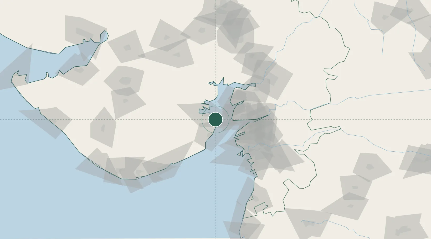
Location
Nearby Logistics Neighbours
Cities
- 1Bhavnagar17 km
- 2Mithivirdi24 km
- 3Dahez SEZ33 km
- 4Dishman-Pharmaceutical-SEZ/Kalyangadh61 km
- 5Surat71 km
Ports
- 1Bhavnagar10 km
- 2Dahej28 km
- 3Hazira77 km
- 4Magdalla78 km
- 5Pipavav Bandar115 km
Airports
- 1Bhavnagar Airport11 km
- 2Surat International Airport80 km
- 3Vadodara International Airport123 km
- 4Rajkot International Airport148 km
- 5Daman Airport151 km
Trade Zones
DatabookThe Record of Consolidated Knowledge
India beyond logistics?