UN/LOCODE hub · India
INVLD

Dishman-Pharmaceutical-SEZ/Kalyangadh
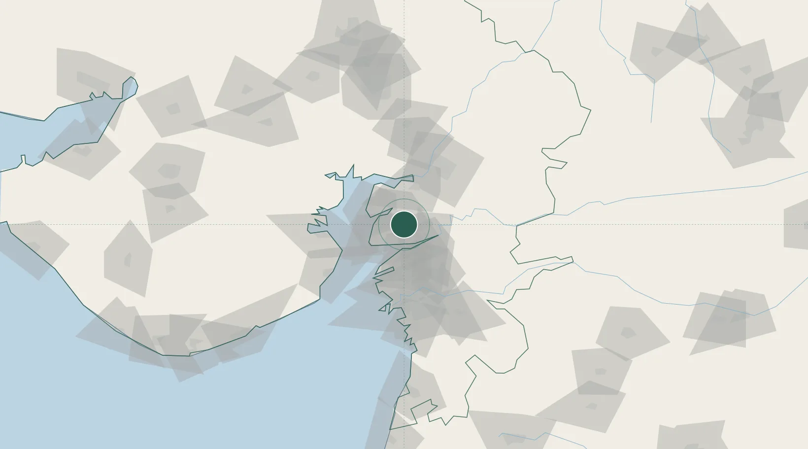
21.8500°, 72.8333°
1
Transport functions

Transport Functions

Multimodal
UN/LOCODE

Hub Profile

Region
GJ
GeoNames

Location

Location of INVLD
Natural Earth 10m (public domain) · GJ · INVLD · 21.85, 72.83GoogleOSMYandex

Nearby Logistics Neighbours

Cities
  1. 1Sterling-SEZ/Bharuch22 km
  2. 2Bharuch22 km
  3. 3Dahez SEZ31 km
  4. 4Ankleshwar31 km
  5. 5Panoli38 km
Nearest neighbours — logibook spatial index (haversine) over the source coordinates
Ports
  1. 1Dahej35 km
  2. 2Bhavnagar63 km
  3. 3Magdalla78 km
  4. 4Hazira88 km
  5. 5Pipavav Bandar171 km
Nearest neighbours — logibook spatial index (haversine) over the source coordinates
Airports
  1. 1Vadodara International Airport68 km
  2. 2Bhavnagar Airport68 km
  3. 3Surat International Airport82 km
  4. 4Sardar Vallabh Patel International Airport138 km
  5. 5Daman Airport157 km
Nearest neighbours — logibook spatial index (haversine) over the source coordinates
Trade Zones
  1. 1Jubilant Infrastructure Ltd.11 km
  2. 2Dahej SEZ Ltd.30 km
  3. 3Sterling SEZ Pvt.Ltd.37 km
  4. 4HBS Pharma SEZ Private Limited, Bharuch39 km
  5. 5L & T Ltd. Vill Ankhol, Vadodara67 km
Nearest neighbours — logibook spatial index (haversine) over the source coordinates
DatabookThe Record of Consolidated Knowledge
India beyond logistics?
Browse databook

All Sources

LocationsUN/LOCODE
UN/LOCODE — free
Portsthe NGA World Port Index
Public domain (US gov)
AirportsOurAirports
Public domain
Trade Zonesthe World Bank SEZ database
CC BY 4.0
Trade ZonesOpen Zone Map
CC BY
← India locations