Large airport · India

Vadodara International AirportVABO
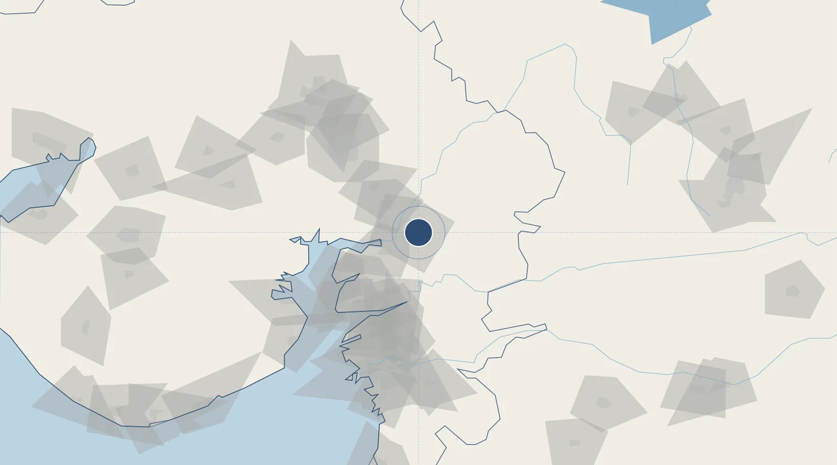
22.3362°, 73.2263°
8,100 ft
Longest runway
1
Runways
129 ft
Elevation

Runway & Layout

Vadodara International Airport runway & taxiway layout
Runway & taxiway layout — OpenStreetMap (ODbL) / OurAirports

Radio Frequencies

TWR
122.35 MHz
BARODA TWR
OurAirports

Navaids

QQZ VOR-DME Vadodara 117.30 MHz
QZ NDB Vadodara 304 kHz
OurAirports

Runways · 1

RunwayDimensions SurfaceTrue headingLit
04/22 8,100 × 150ft Asphalt 044°
OurAirports

Airport Specifications

IATA code
BDQ
OurAirports
ICAO code
VABO
OurAirports
Airport class
Large airport
OurAirports
Scheduled service
Yes
OurAirports
Runway surface
Asphalt
OurAirports
Served city
Vadodara
OurAirports

Location

Location of VABO
Natural Earth 10m (public domain) · Gujarat · VABO · 22.34, 73.23GoogleOSMYandex

Nearby Logistics Neighbours

Airports
  1. 1Sardar Vallabh Patel International Airport102 km
  2. 2Bhavnagar Airport125 km
  3. 3Surat International Airport145 km
  4. 4Daman Airport215 km
  5. 5Rajkot International Airport225 km
Nearest neighbours — logibook spatial index (haversine) over the source coordinates
Cities
  1. 1Baroda5 km
  2. 2Chhani/Vadodora6 km
  3. 3Vadodara8 km
  4. 4SE&C-LTD-SEZ/Waghodia15 km
  5. 5Godhra62 km
Nearest neighbours — logibook spatial index (haversine) over the source coordinates
Ports
  1. 1Dahej101 km
  2. 2Bhavnagar120 km
  3. 3Magdalla141 km
  4. 4Hazira152 km
  5. 5Pipavav Bandar237 km
Nearest neighbours — logibook spatial index (haversine) over the source coordinates
Trade Zones
  1. 1L & T Ltd. Vill Ankhol, Vadodara5 km
  2. 2Sterling SEZ Pvt.Ltd.48 km
  3. 3Jubilant Infrastructure Ltd.69 km
  4. 4HBS Pharma SEZ Private Limited, Bharuch93 km
  5. 5Dahej SEZ Ltd.96 km
Nearest neighbours — logibook spatial index (haversine) over the source coordinates
DatabookThe Record of Consolidated Knowledge
India beyond logistics?
Browse databook

All Sources

AirportsOurAirports
Public domain
Portsthe NGA World Port Index
Public domain (US gov)
LocationsUN/LOCODE
UN/LOCODE — free
Trade Zonesthe World Bank SEZ database
CC BY 4.0
Trade ZonesOpen Zone Map
CC BY
InfrastructureOpenStreetMap
ODbL 1.0
← India airports