Large airport · India

Sardar Vallabh Patel International AirportVAAH
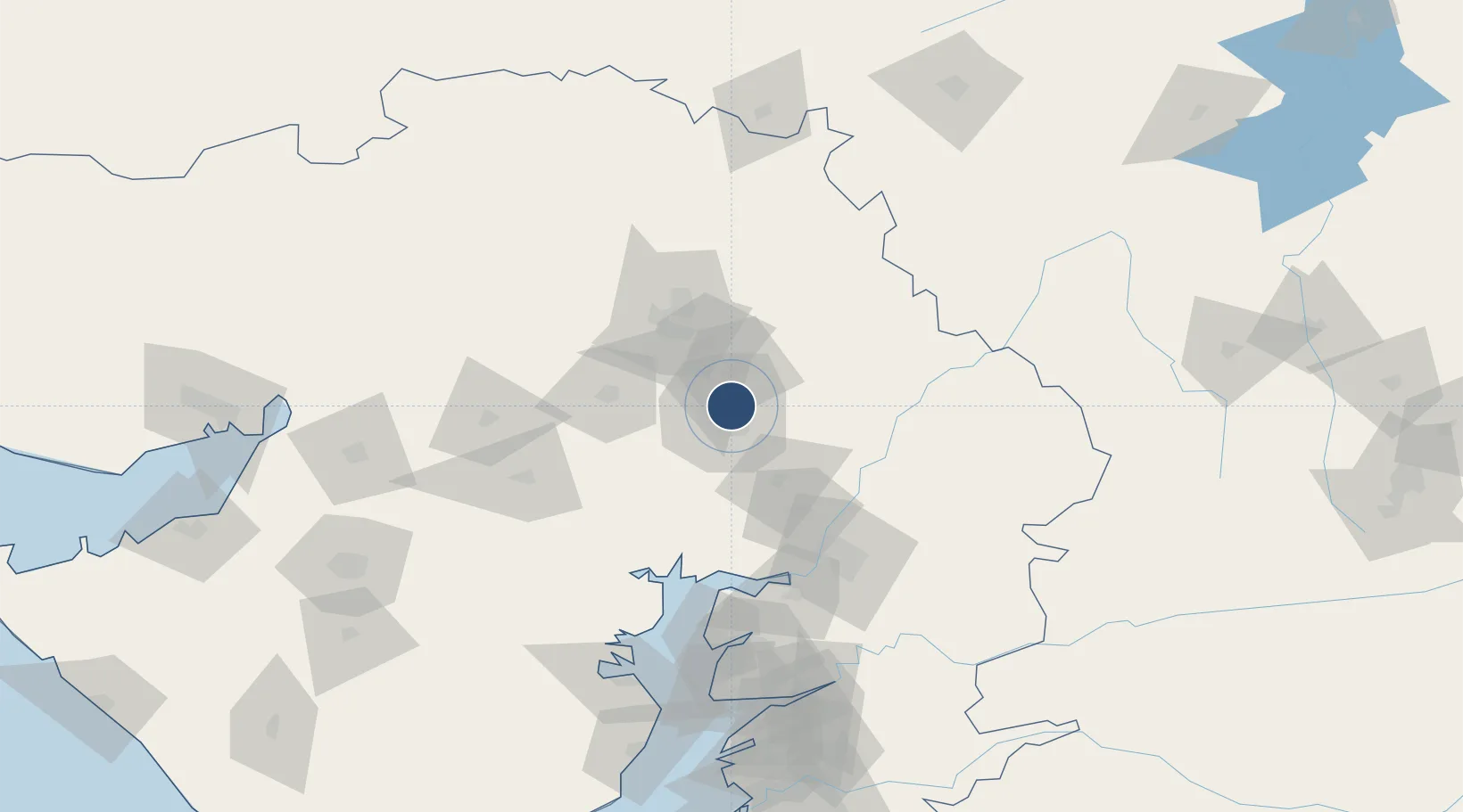
23.0772°, 72.6347°
11,499 ft
Longest runway
1
Runways
189 ft
Elevation

Runway & Layout

Sardar Vallabh Patel International Airport runway & taxiway layout
Runway & taxiway layout — OpenStreetMap (ODbL) / OurAirports

Radio Frequencies

ATIS
126.8 MHz
TWR
119.6 MHz
TOWER
APP
119.8 MHz
APPROACH
ACC
123.75 MHz
RADAR
OurAirports

Navaids

AAE VOR-DME Ahmedabad 113.10 MHz
AH NDB Ahmedabad 215 kHz
OurAirports

Runways · 1

RunwayDimensions SurfaceTrue headingLit
05/23 11,499 × 150ft Asphalt 045°
OurAirports

Airport Specifications

IATA code
AMD
OurAirports
ICAO code
VAAH
OurAirports
Airport class
Large airport
OurAirports
Scheduled service
Yes
OurAirports
Runway surface
Asphalt
OurAirports
Served city
Ahmedabad
OurAirports

Location

Location of VAAH
Natural Earth 10m (public domain) · Gujarat · VAAH · 23.08, 72.63GoogleOSMYandex

Nearby Logistics Neighbours

Airports
  1. 1Vadodara International Airport102 km
  2. 2Bhavnagar Airport154 km
  3. 3Rajkot International Airport181 km
  4. 4Rajkot Airport209 km
  5. 5Maharana Pratap Airport214 km
Nearest neighbours — logibook spatial index (haversine) over the source coordinates
Cities
  1. 1Sabarmati3 km
  2. 2Ccipl-SEZ/Ahmadabad5 km
  3. 3Gipl-SEZ/Ahmadabad5 km
  4. 4Mrpl-SEZ/Ahmadabad5 km
  5. 5Cgrpl-SEZ/Ahmadabad5 km
Nearest neighbours — logibook spatial index (haversine) over the source coordinates
Ports
  1. 1Bhavnagar152 km
  2. 2Dahej154 km
  3. 3Magdalla215 km
  4. 4Hazira222 km
  5. 5Navlakhi224 km
Nearest neighbours — logibook spatial index (haversine) over the source coordinates
Trade Zones
  1. 1GiDC Apparel Park Ahmedabad8 km
  2. 2Aqualine Properties Pvt. Ltd. Gandhinagar.8 km
  3. 3Suzlon Infrastructure Ltd.9 km
  4. 4Gift Multi Service SEZ10 km
  5. 5Tata Consultancy Services Ltd, Gandhinagar.13 km
Nearest neighbours — logibook spatial index (haversine) over the source coordinates
DatabookThe Record of Consolidated Knowledge
India beyond logistics?
Browse databook

All Sources

AirportsOurAirports
Public domain
Portsthe NGA World Port Index
Public domain (US gov)
LocationsUN/LOCODE
UN/LOCODE — free
Trade Zonesthe World Bank SEZ database
CC BY 4.0
Trade ZonesOpen Zone Map
CC BY
InfrastructureOpenStreetMap
ODbL 1.0
← India airports