UN/LOCODE hub · India
INMRI

Mithivirdi

21.4667°, 72.2333°
1
Transport functions

Transport Functions

Port
UN/LOCODE

Hub Profile

Region
GJ
GeoNames

Location

Location of INMRI
Natural Earth 10m (public domain) · GJ · INMRI · 21.47, 72.23GoogleOSMYandex

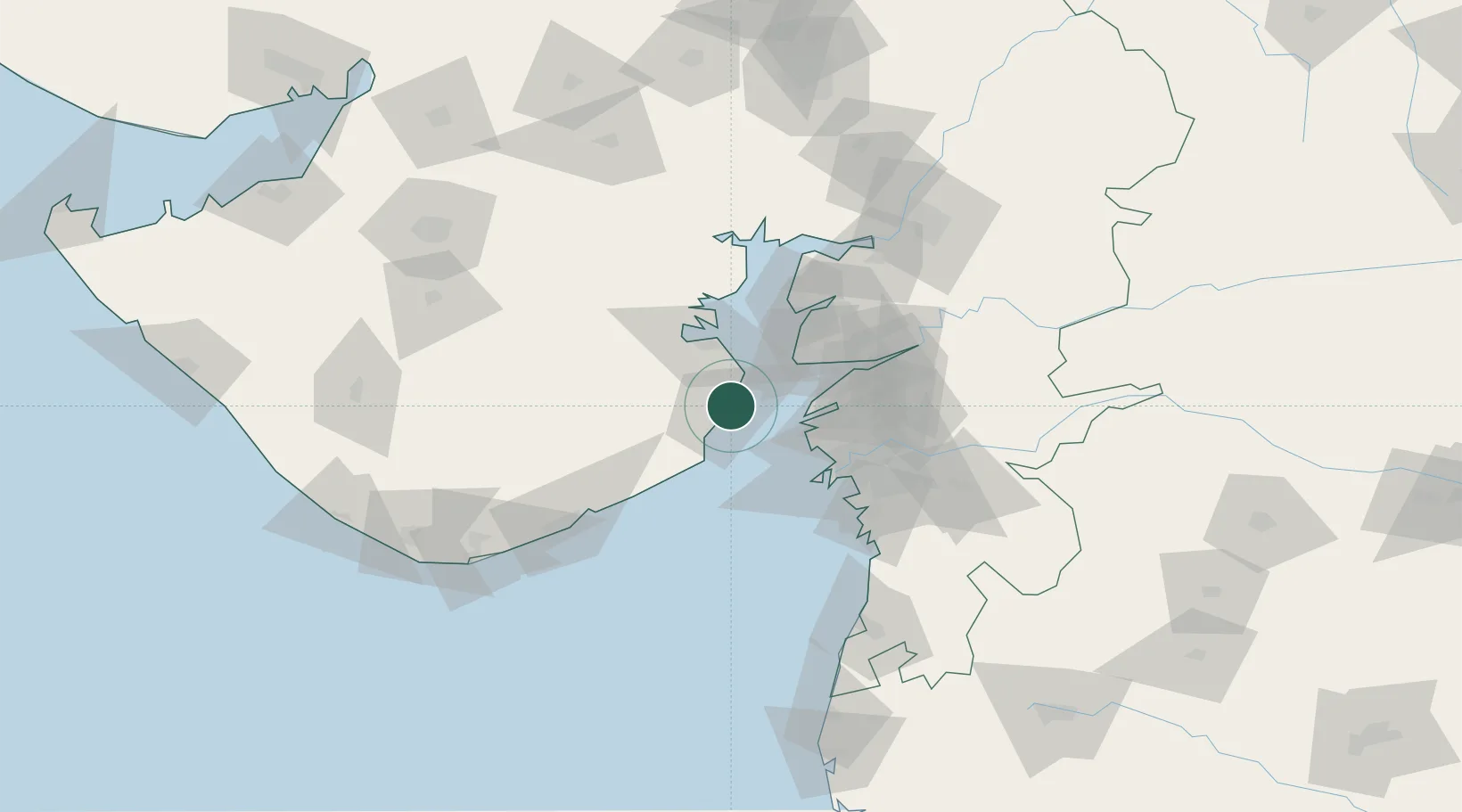
Nearby Logistics Neighbours

Cities
  1. 1Choga24 km
  2. 2Bhavnagar35 km
  3. 3Dahez SEZ45 km
  4. 4Surat56 km
  5. 5Hazira Port/Surat56 km
Nearest neighbours — logibook spatial index (haversine) over the source coordinates
Ports
  1. 1Bhavnagar33 km
  2. 2Dahej40 km
  3. 3Hazira60 km
  4. 4Magdalla64 km
  5. 5Pipavav Bandar96 km
Nearest neighbours — logibook spatial index (haversine) over the source coordinates
Airports
  1. 1Bhavnagar Airport32 km
  2. 2Surat International Airport66 km
  3. 3Daman Airport131 km
  4. 4Vadodara International Airport141 km
  5. 5Rajkot International Airport160 km
Nearest neighbours — logibook spatial index (haversine) over the source coordinates
Trade Zones
  1. 1Dahej SEZ Ltd.45 km
  2. 2Gujarat Hira Bourse61 km
  3. 3HBS Pharma SEZ Private Limited, Bharuch78 km
  4. 4Surat Special Economic Zone78 km
  5. 5Jubilant Infrastructure Ltd.78 km
Nearest neighbours — logibook spatial index (haversine) over the source coordinates
DatabookThe Record of Consolidated Knowledge
India beyond logistics?
Browse databook

All Sources

LocationsUN/LOCODE
UN/LOCODE — free
Portsthe NGA World Port Index
Public domain (US gov)
AirportsOurAirports
Public domain
Trade Zonesthe World Bank SEZ database
CC BY 4.0
Trade ZonesOpen Zone Map
CC BY
← India locations