Transport Functions
Port
Road
Hub Profile
Region
SO
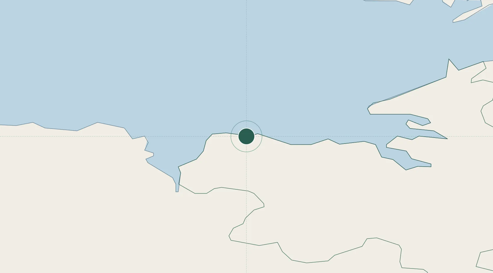
Location
Nearby Logistics Neighbours
Cities
- 1Ballina23 km
- 2Kiltamagh48 km
- 3Manorhamilton52 km
- 4Bangor53 km
- 5Newport58 km
Ports
- 1Sligo33 km
- 2Killybegs51 km
- 3Westport65 km
- 4Galway113 km
- 5Rathmullan129 km
Airports
- 1Sligo Airport24 km
- 2Ireland West Airport Knock43 km
- 3Enniskillen/St Angelo Airport86 km
- 4Donegal Airport94 km
- 5Connemara Regional Airport122 km
Trade Zones
DatabookThe Record of Consolidated Knowledge
Ireland beyond logistics?