Transport Functions
Multimodal
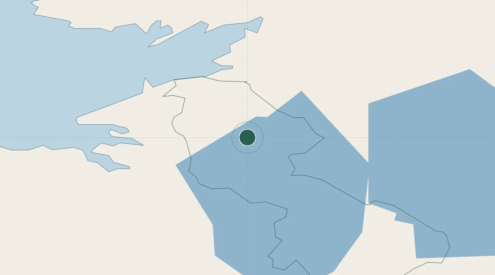
Hub Profile
Place type
Populated place
Region
Connacht
Population
1,466
Time zone
Europe/Dublin
Elevation
57 m
Location
Nearby Logistics Neighbours
Cities
- 1Carrick34 km
- 2Newtownbutler37 km
- 3Ballyconnell43 km
- 4Easkey/Rathlee52 km
- 5Fintona59 km
Ports
- 1Sligo20 km
- 2Killybegs41 km
- 3Londonderry95 km
- 4Rathmullan98 km
- 5Westport105 km
Airports
- 1Sligo Airport28 km
- 2Enniskillen/St Angelo Airport35 km
- 3Ireland West Airport Knock61 km
- 4Donegal Airport84 km
- 5City of Derry Airport105 km
Trade Zones
DatabookThe Record of Consolidated Knowledge
Ireland beyond logistics?