Transport Functions
Multimodal
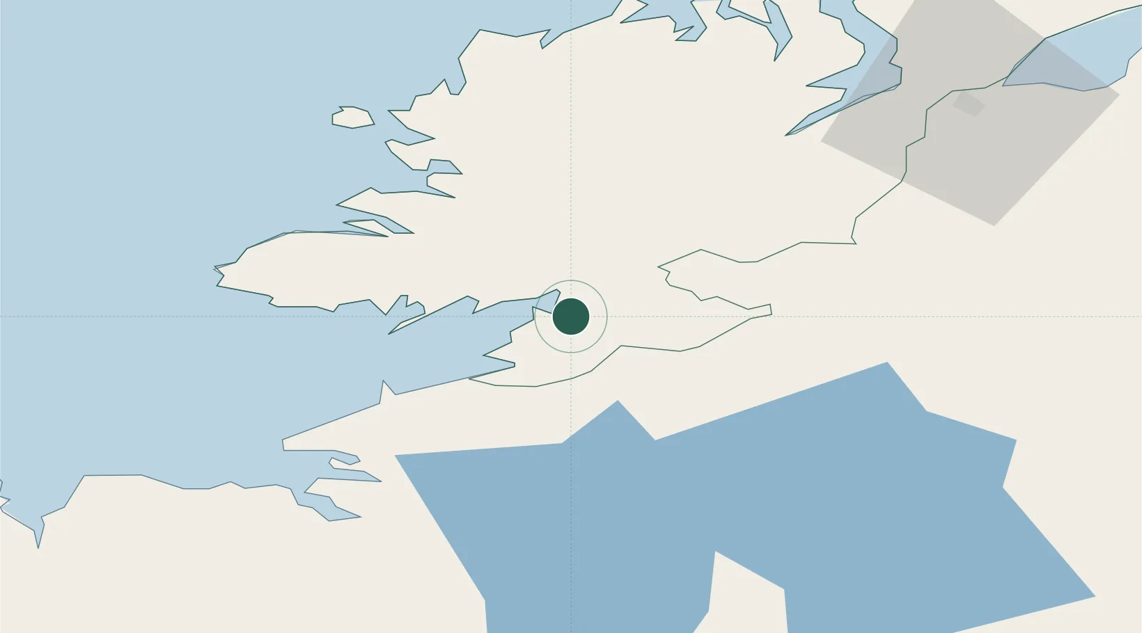
Hub Profile
Place type
Populated place
Region
Ulster
Time zone
Europe/Dublin
Elevation
8 m
Location
Nearby Logistics Neighbours
Cities
- 1Manorhamilton34 km
- 2Castlefinn39 km
- 3Fintona44 km
- 4Strabane46 km
- 5Newtownbutler47 km
Ports
- 1Killybegs23 km
- 2Sligo44 km
- 3Rathmullan66 km
- 4Londonderry67 km
- 5Coleraine109 km
Airports
- 1Enniskillen/St Angelo Airport37 km
- 2Sligo Airport48 km
- 3Donegal Airport52 km
- 4City of Derry Airport78 km
- 5Ireland West Airport Knock90 km
Trade Zones
DatabookThe Record of Consolidated Knowledge
Ireland beyond logistics?