Medium airport · Indonesia

Depati Amir AirportWIPK
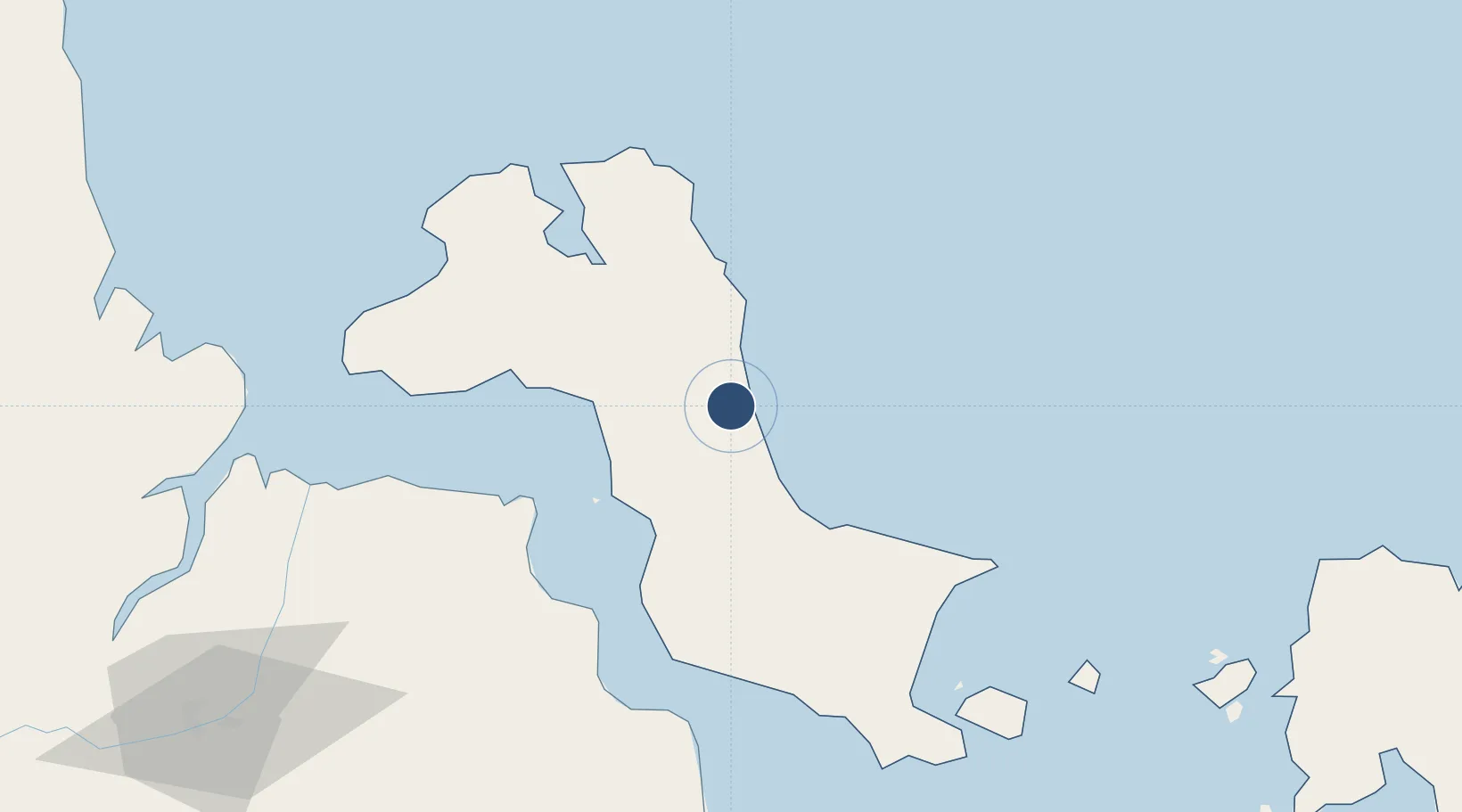
-2.1622°, 106.1390°
6,550 ft
Longest runway
1
Runways
109 ft
Elevation

Runway & Layout

Depati Amir Airport runway & taxiway layout
Runway & taxiway layout — OpenStreetMap (ODbL) / OurAirports

Radio Frequencies

TWR
118.3 MHz
AMIR TWR
APP
123.6 MHz
PANGKALPINANG APP
OurAirports

Runways · 1

RunwayDimensions SurfaceTrue headingLit
16/34 6,550 × 98ft Asphalt 165°
OurAirports

Airport Specifications

IATA code
PGK
OurAirports
ICAO code
WIKK
OurAirports
Airport class
Medium airport
OurAirports
Scheduled service
Yes
OurAirports
Runway surface
Asphalt
OurAirports
Served city
Pangkal Pinang
OurAirports

Location

Location of WIPK
Natural Earth 10m (public domain) · Bangka-Belitung · WIPK · -2.16, 106.14GoogleOSMYandex

Nearby Logistics Neighbours

Airports
  1. 1Sultan Mahmud Badaruddin II Airport180 km
  2. 2H A S Hanandjoeddin International Airport191 km
  3. 3Pendopo Airport280 km
  4. 4Sultan Thaha Airport283 km
  5. 5Radin Inten II International Airport359 km
Nearest neighbours — logibook spatial index (haversine) over the source coordinates
Cities
  1. 1Serdang82 km
  2. 2Toboali101 km
  3. 3Exspan119 km
  4. 4Plaju, Sumatra175 km
  5. 5Palembang, Sumatra175 km
Nearest neighbours — logibook spatial index (haversine) over the source coordinates
Ports
  1. 1Pangkalpinang5 km
  2. 2Blinyu71 km
  3. 3Toboali101 km
  4. 4Muntok109 km
  5. 5Sungaigerong171 km
Nearest neighbours — logibook spatial index (haversine) over the source coordinates
Trade Zones
  1. 1Tanjung Api-api Special Economic Zone148 km
  2. 2KEK Tanjung Kelayang175 km
  3. 3KEK Galang Batang379 km
  4. 4Bintan Industrial Estate410 km
  5. 5Taiwan International Industrial Estate426 km
Nearest neighbours — logibook spatial index (haversine) over the source coordinates
DatabookThe Record of Consolidated Knowledge
Indonesia beyond logistics?
Browse databook

All Sources

AirportsOurAirports
Public domain
Portsthe NGA World Port Index
Public domain (US gov)
LocationsUN/LOCODE
UN/LOCODE — free
Trade Zonesthe World Bank SEZ database
CC BY 4.0
Trade ZonesOpen Zone Map
CC BY
InfrastructureOpenStreetMap
ODbL 1.0
← Indonesia airports