UN/LOCODE hub · Indonesia
IDPLM
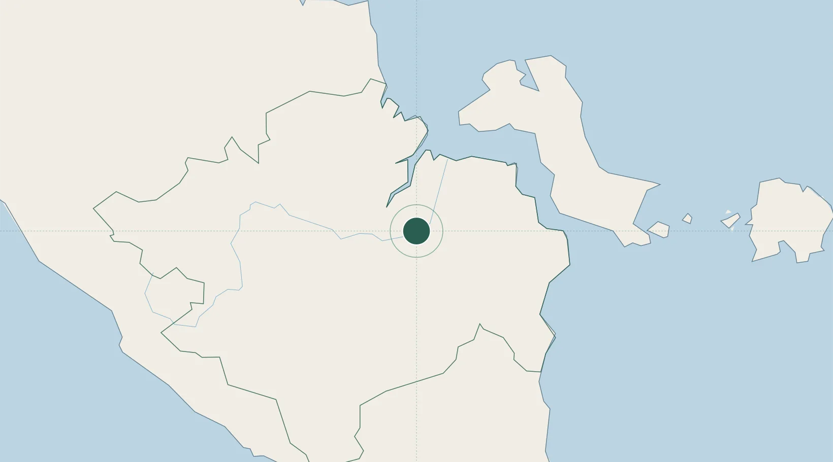
Palembang, Sumatra
-2.9717°, 104.7841°
2
Transport functions
1
Container terminals
Transport Functions
Port
Airport
Hub Profile
Logistics facilities
11
Container terminals
1
Location
Nearby Logistics Neighbours
Cities
- 1Plaju, Sumatra2 km
- 2Exspan136 km
- 3Serdang186 km
- 4Toboali191 km
- 5Jambi, Sumatra200 km
Ports
- 1Sungaigerong6 km
- 2Muntok109 km
- 3Pangkalpinang178 km
- 4Toboali185 km
- 5Blinyu186 km
Airports
- 1Sultan Mahmud Badaruddin II Airport13 km
- 2Pendopo Airport106 km
- 3Depati Amir Airport175 km
- 4Sultan Thaha Airport195 km
- 5Radin Inten II International Airport257 km
Trade Zones
DatabookThe Record of Consolidated Knowledge
Indonesia beyond logistics?