Medium airport · Indonesia
Pendopo AirportWIPQ
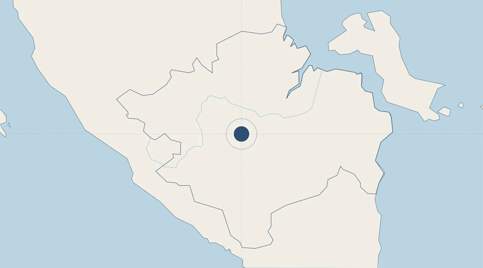
-3.2861°, 103.8800°
4,265 ft
Longest runway
1
Runways
184 ft
Elevation
Runway & Layout

Radio Frequencies
RDO
122.1 MHz
Navaids
PD NDB Pendopo 305 kHz
Runways · 1
| Runway | Dimensions | Surface | True heading | Lit |
|---|---|---|---|---|
| 03/21 | 4,265 × 66ft | Asphalt / concrete | 032° | ✓ |
Airport Specifications
IATA code
PDO
ICAO code
WIPQ
Airport class
Medium airport
Scheduled service
Yes
Runway surface
Asphalt / concrete
Served city
Talang Gudang-Sumatra Island
Location
Nearby Logistics Neighbours
Airports
- 1Sultan Mahmud Badaruddin II Airport101 km
- 2Fatmawati Soekarno Airport183 km
- 3Sultan Thaha Airport185 km
- 4Radin Inten II International Airport262 km
- 5Muara Bungo Airport271 km
Cities
- 1Palembang, Sumatra106 km
- 2Plaju, Sumatra108 km
- 3Pelawan168 km
- 4Jambi, Sumatra193 km
- 5Exspan216 km
Ports
- 1Palembang104 km
- 2Sungaigerong111 km
- 3Bengkulu189 km
- 4Muntok197 km
- 5Jabung Batanghari Marine Terminal264 km
Trade Zones
DatabookThe Record of Consolidated Knowledge
Indonesia beyond logistics?