Transport Functions
Port
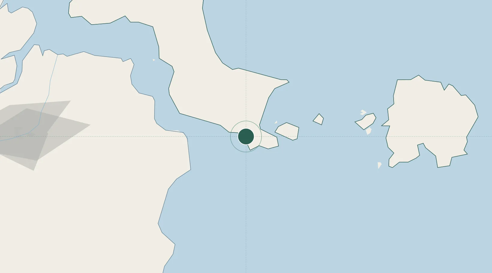
Hub Profile
Place type
Populated place
Region
Bangka–Belitung Islands
Time zone
Asia/Jakarta
Elevation
33 m
Location
Nearby Logistics Neighbours
Cities
- 1Serdang19 km
- 2Tanjung Pandan131 km
- 3Belitung158 km
- 4Plaju, Sumatra189 km
- 5Palembang, Sumatra191 km
Ports
- 1Pangkalpinang106 km
- 2Tanjungpandan129 km
- 3Blinyu172 km
- 4Muntok181 km
- 5Sungaigerong185 km
Airports
Trade Zones
DatabookThe Record of Consolidated Knowledge
Indonesia beyond logistics?