Channel & Berth Profile
Pilotage, Tugs & Services
Pilotage compulsoryNO
Pilotage availableNO
Local assistanceNO
Tug assistanceYES
Potable waterNO
Diesel bunkersNO
MedicalYES
Facilities & Capabilities
Container—
Ro-Ro—
Liquid bulk—
Dry bulk—
Oil terminal—
Break bulk—
Dry dock—
Repairs—
BunkeringNO
Rail linkNO
Dangerous cargo—
ISPS security—
Harbour Specifications
Harbour size
Very Small
Harbour type
Coastal (Natural)
Shelter
Fair
Water body
Natuna Sea; South China Sea; South Pacific Ocean
Tidal range
9 m
Pilotage
No
Location
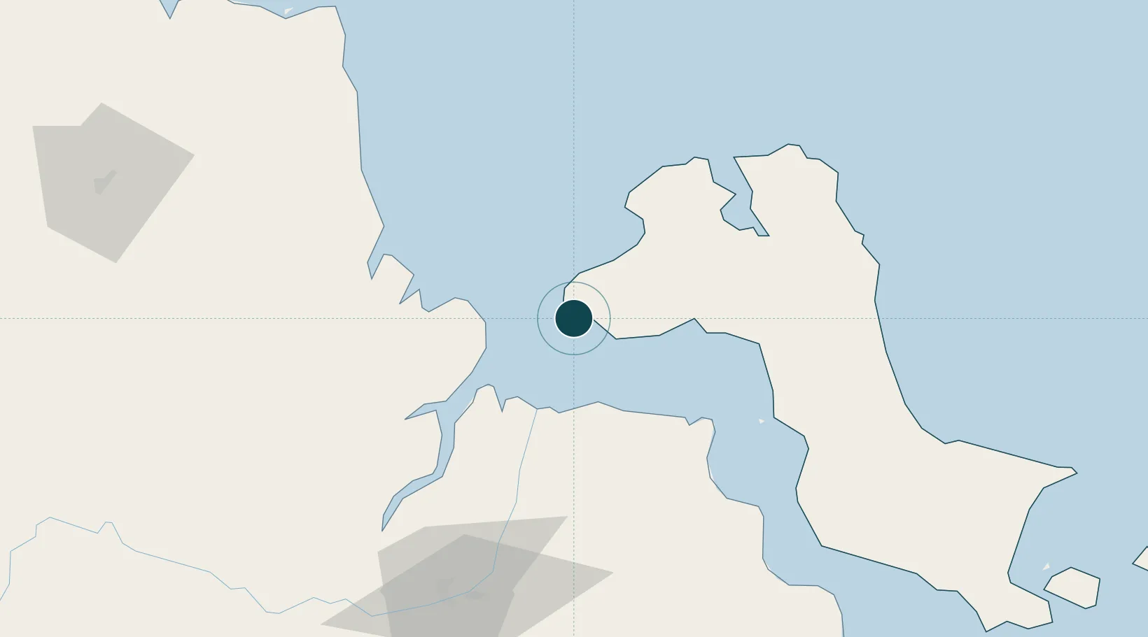
Nearby Logistics Neighbours
Ports
- 1Blinyu84 km
- 2Pangkalpinang108 km
- 3Sungaigerong108 km
- 4Palembang111 km
- 5Jabung Batanghari Marine Terminal177 km
Cities
- 1Exspan30 km
- 2Palembang, Sumatra109 km
- 3Plaju, Sumatra110 km
- 4Tanjung Uban153 km
- 5Serdang166 km
Airports
- 1Sultan Mahmud Badaruddin II Airport106 km
- 2Depati Amir Airport109 km
- 3Sultan Thaha Airport176 km
- 4Pendopo Airport197 km
- 5H A S Hanandjoeddin International Airport297 km
Trade Zones
- 1Tanjung Api-api Special Economic Zone52 km
- 2KEK Tanjung Kelayang282 km
- 3KEK Galang Batang336 km
- 4Bintan Industrial Estate356 km
- 5Karimun Free Trade Zone359 km
DatabookThe Record of Consolidated Knowledge
Indonesia beyond logistics?