Medium airport · Indonesia

Sultan Mahmud Badaruddin II AirportWIPP
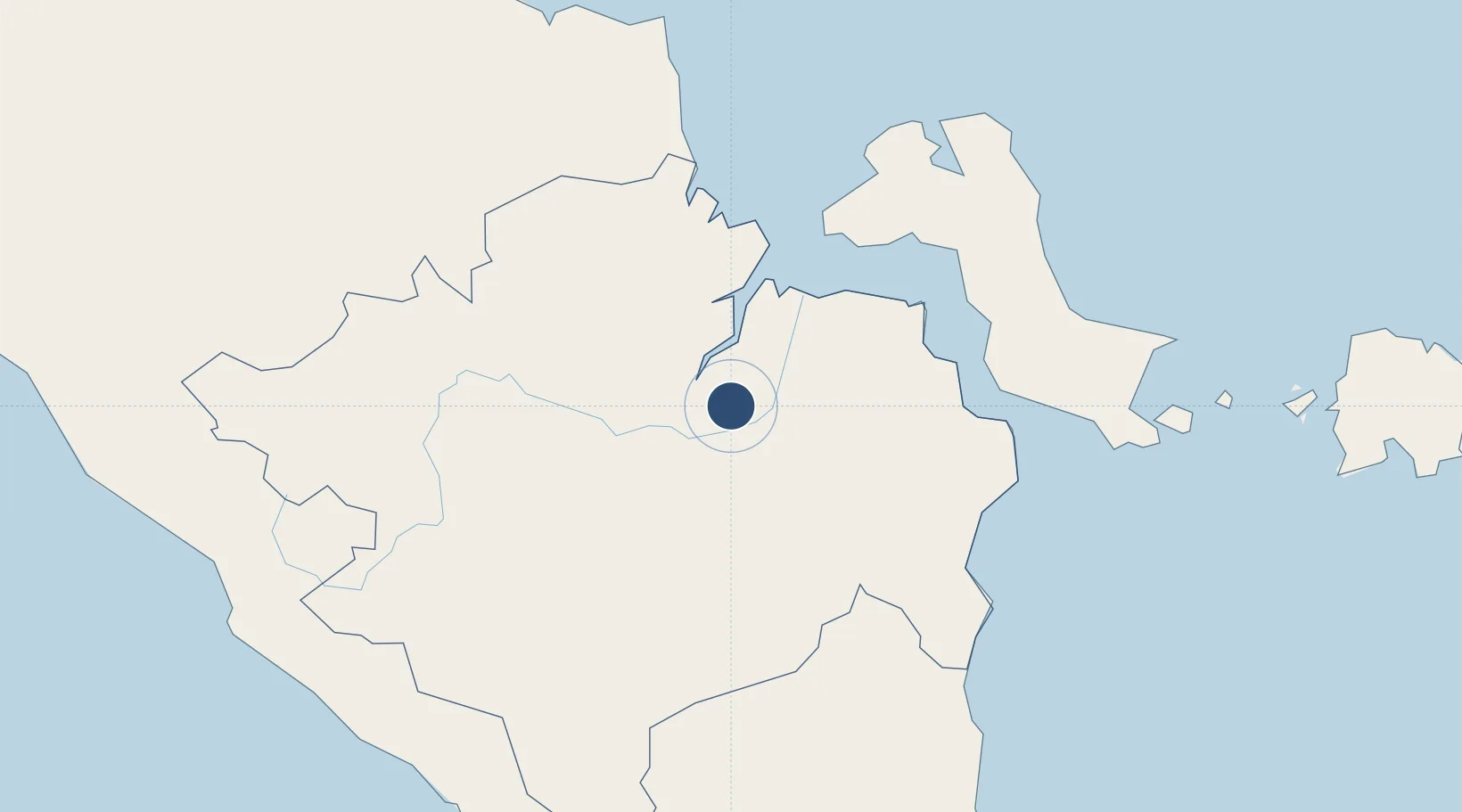
-2.8977°, 104.6981°
8,202 ft
Longest runway
1
Runways
49 ft
Elevation

Runway & Layout

Sultan Mahmud Badaruddin II Airport runway & taxiway layout
Runway & taxiway layout — OpenStreetMap (ODbL) / OurAirports

Radio Frequencies

ATIS
127.2 MHz
TWR
118.1 MHz
MAHMUD TWR
APP
119.2 MHz
PALEMBANG APP
INFO
341.6 MHz
PALEMBANG INFO
OurAirports

Navaids

OW NDB Palembang 395 kHz
PLB VOR-DME Palembang 115.50 MHz
WW NDB Palembang 380 kHz
OurAirports

Runways · 1

RunwayDimensions SurfaceTrue headingLit
11/29 8,202 × 148ft Asphalt 113°
OurAirports

Airport Specifications

IATA code
PLM
OurAirports
ICAO code
WIPP
OurAirports
Airport class
Medium airport
OurAirports
Scheduled service
Yes
OurAirports
Runway surface
Asphalt
OurAirports
Served city
Palembang
OurAirports

Location

Location of WIPP
Natural Earth 10m (public domain) · Sumatera Selatan · WIPP · -2.90, 104.70GoogleOSMYandex

Nearby Logistics Neighbours

Airports
  1. 1Pendopo Airport101 km
  2. 2Depati Amir Airport180 km
  3. 3Sultan Thaha Airport182 km
  4. 4Radin Inten II International Airport267 km
  5. 5Fatmawati Soekarno Airport283 km
Nearest neighbours — logibook spatial index (haversine) over the source coordinates
Cities
  1. 1Palembang, Sumatra13 km
  2. 2Plaju, Sumatra15 km
  3. 3Exspan131 km
  4. 4Jambi, Sumatra188 km
  5. 5Serdang195 km
Nearest neighbours — logibook spatial index (haversine) over the source coordinates
Ports
  1. 1Palembang12 km
  2. 2Sungaigerong18 km
  3. 3Muntok106 km
  4. 4Pangkalpinang182 km
  5. 5Blinyu185 km
Nearest neighbours — logibook spatial index (haversine) over the source coordinates
Trade Zones
  1. 1Tanjung Api-api Special Economic Zone58 km
  2. 2KEK Tanjung Kelayang330 km
  3. 3Krakatau Industrial Estate - Cilegon374 km
  4. 4Wilmar Integrated Industrial Park379 km
  5. 5ModernCikande Industrial Estate409 km
Nearest neighbours — logibook spatial index (haversine) over the source coordinates
DatabookThe Record of Consolidated Knowledge
Indonesia beyond logistics?
Browse databook

All Sources

AirportsOurAirports
Public domain
Portsthe NGA World Port Index
Public domain (US gov)
LocationsUN/LOCODE
UN/LOCODE — free
Trade Zonesthe World Bank SEZ database
CC BY 4.0
Trade ZonesOpen Zone Map
CC BY
InfrastructureOpenStreetMap
ODbL 1.0
← Indonesia airports