Industrial Estate · Indonesia

Krakatau Industrial Estate - Cilegon Active
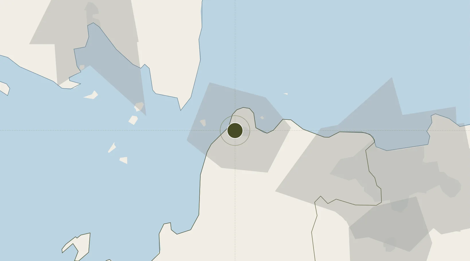
-6.0003°, 106.0106°
1,152 ha
Zone area
5.2 km
Nearest port
72.7 km
Nearest airport

Gateway access

Nearest neighbours — logibook spatial index (haversine) over the source coordinates

Zone profile

Zone type
Industrial Estate
the World Bank SEZ database
Region
Banten
the World Bank SEZ database
Status
Active
the World Bank SEZ database
Established
1982
the World Bank SEZ database
Management
Private management
the World Bank SEZ database
Operator
PT Krakatau Industrial Estate Cilegon
the World Bank SEZ database
Regulatory authority
Industrial Estate Authority of Indonesia*
the World Bank SEZ database
Legal framework
Government Regulation No 142/2015
the World Bank SEZ database

Location

Location of IDN7
Natural Earth 10m (public domain) · Banten · IDN7 · -6.00, 106.01GoogleOSMYandex

Fiscal & incentives

Corporate tax
25%
the World Bank SEZ database
Tax relief
Under review
the World Bank SEZ database
Relief duration
Under review
the World Bank SEZ database
VAT
Under review
the World Bank SEZ database
Import duty (inputs)
Under review
the World Bank SEZ database
Import duty (capex)
Under review
the World Bank SEZ database
Profit repatriation
Under review
the World Bank SEZ database
Capital gains
Under review
the World Bank SEZ database
Withholding tax
Under review
the World Bank SEZ database
Min. investment
None
the World Bank SEZ database
Min. export
0%
the World Bank SEZ database
Employment incentive
Under review
the World Bank SEZ database
Developer incentive
No established framework
the World Bank SEZ database

Nearby Logistics Neighbours

Ports
  1. 1Banten5 km
  2. 2Merak Mas Terminal9 km
  3. 3Tanjung Sekong9 km
  4. 4Anyer Lor12 km
  5. 5Panjang97 km
Nearest neighbours — logibook spatial index (haversine) over the source coordinates
Airports
  1. 1Soekarno-Hatta International Airport73 km
  2. 2Halim Perdanakusuma International Airport102 km
  3. 3Radin Inten II International Airport124 km
  4. 4Husein Sastranegara International Airport200 km
  5. 5Kertajati International Airport249 km
Nearest neighbours — logibook spatial index (haversine) over the source coordinates
Cities
  1. 1Ciwandan7 km
  2. 2Anyer Kidul16 km
  3. 3Cikande44 km
  4. 4Koja53 km
  5. 5Kembangan83 km
Nearest neighbours — logibook spatial index (haversine) over the source coordinates
Trade Zones
  1. 1Wilmar Integrated Industrial Park10 km
  2. 2ModernCikande Industrial Estate42 km
  3. 3Millenium Industrial Estate61 km
  4. 4KEK Tanjung Lesung67 km
  5. 5BSD City Industrial Estate83 km
Nearest neighbours — logibook spatial index (haversine) over the source coordinates
DatabookThe Record of Consolidated Knowledge
Indonesia beyond logistics?
Browse databook

All Sources

Trade Zonesthe World Bank SEZ database
CC BY 4.0
Portsthe NGA World Port Index
Public domain (US gov)
AirportsOurAirports
Public domain
LocationsUN/LOCODE
UN/LOCODE — free
← Indonesia trade zones