UN/LOCODE hub · Indonesia
IDSSN

Serdang

-2.8333°, 106.4500°
1
Transport functions

Transport Functions

Multimodal
UN/LOCODE

Hub Profile

Place type
Populated place
GeoNames
Region
Bangka–Belitung Islands
GeoNames
Time zone
Asia/Jakarta
GeoNames
Elevation
30 m
GeoNames

Location

Location of IDSSN
Natural Earth 10m (public domain) · Bangka–Belitung Islands · IDSSN · -2.83, 106.45GoogleOSMYandex

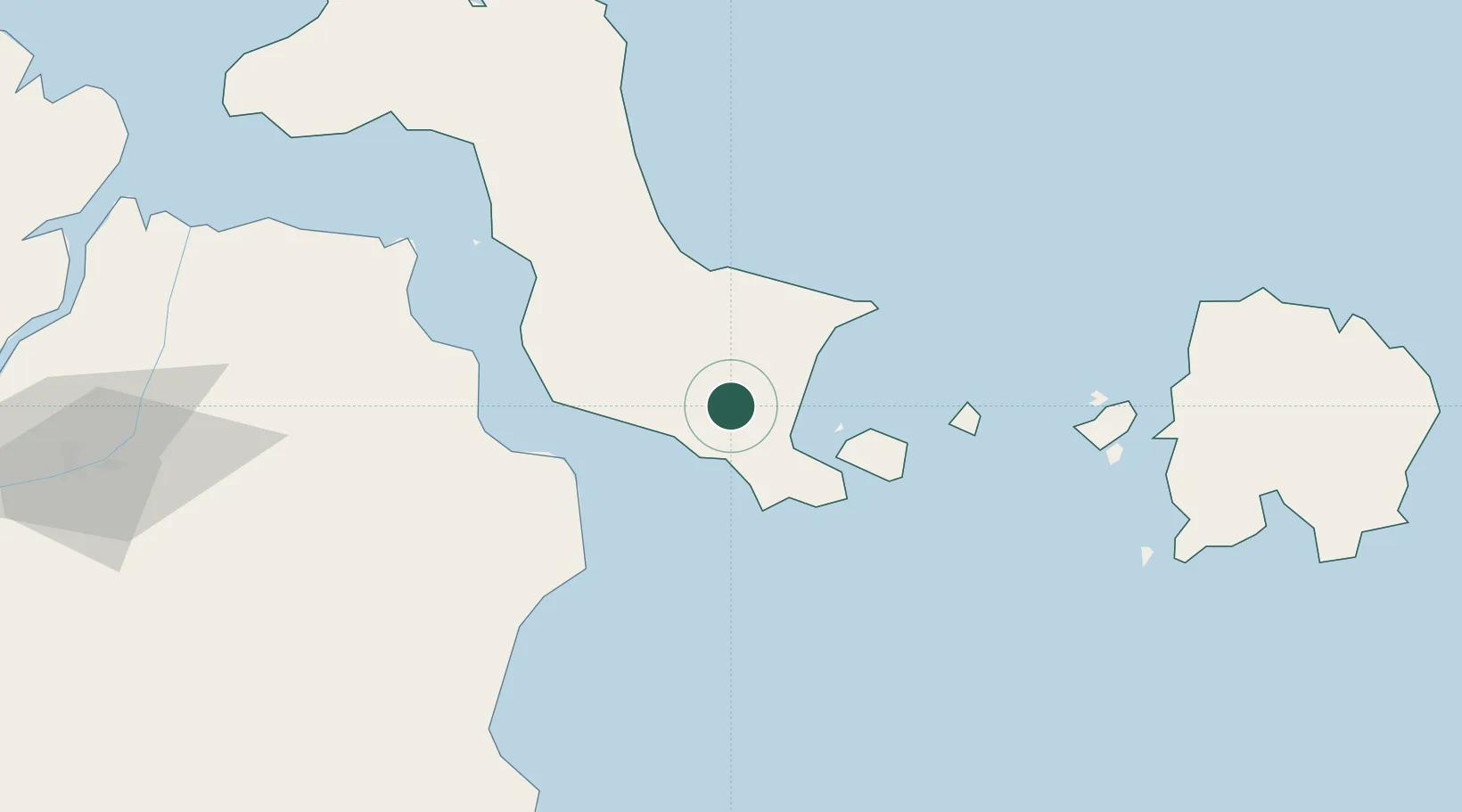
Nearby Logistics Neighbours

Cities
  1. 1Toboali19 km
  2. 2Tanjung Pandan134 km
  3. 3Belitung163 km
  4. 4Plaju, Sumatra184 km
  5. 5Palembang, Sumatra186 km
Nearest neighbours — logibook spatial index (haversine) over the source coordinates
Ports
  1. 1Toboali20 km
  2. 2Pangkalpinang87 km
  3. 3Tanjungpandan132 km
  4. 4Blinyu153 km
  5. 5Muntok166 km
Nearest neighbours — logibook spatial index (haversine) over the source coordinates
Airports
  1. 1Depati Amir Airport82 km
  2. 2H A S Hanandjoeddin International Airport145 km
  3. 3Sultan Mahmud Badaruddin II Airport195 km
  4. 4Pendopo Airport290 km
  5. 5Radin Inten II International Airport303 km
Nearest neighbours — logibook spatial index (haversine) over the source coordinates
Trade Zones
  1. 1KEK Tanjung Kelayang137 km
  2. 2Tanjung Api-api Special Economic Zone187 km
  3. 3Wilmar Integrated Industrial Park355 km
  4. 4Krakatau Industrial Estate - Cilegon356 km
  5. 5Kawasan Berikat Nusantara Industrial Estate372 km
Nearest neighbours — logibook spatial index (haversine) over the source coordinates
DatabookThe Record of Consolidated Knowledge
Indonesia beyond logistics?
Browse databook

All Sources

LocationsUN/LOCODE
UN/LOCODE — free
Portsthe NGA World Port Index
Public domain (US gov)
AirportsOurAirports
Public domain
Trade Zonesthe World Bank SEZ database
CC BY 4.0
Trade ZonesOpen Zone Map
CC BY
← Indonesia locations