Channel & Berth Profile
Pilotage, Tugs & Services
Pilotage compulsoryYES
Pilotage availableYES
Pilotage advisableYES
Tug assistanceYES
Potable waterYES
Diesel bunkersYES
MedicalYES
Garbage disposalNO
Facilities & Capabilities
Container—
Ro-Ro—
Liquid bulk—
Dry bulk—
Oil terminal—
Break bulk—
Dry dockNO
RepairsNO
BunkeringYES
Rail linkYES
Dangerous cargo—
ISPS security—
Harbour Specifications
Harbour size
Very Small
Harbour type
River (Natural)
Shelter
Good
Water body
Natuna Sea; South China Sea; South Pacific Ocean
Tidal range
2 m
Overhead limit
Yes
Pilotage
Yes
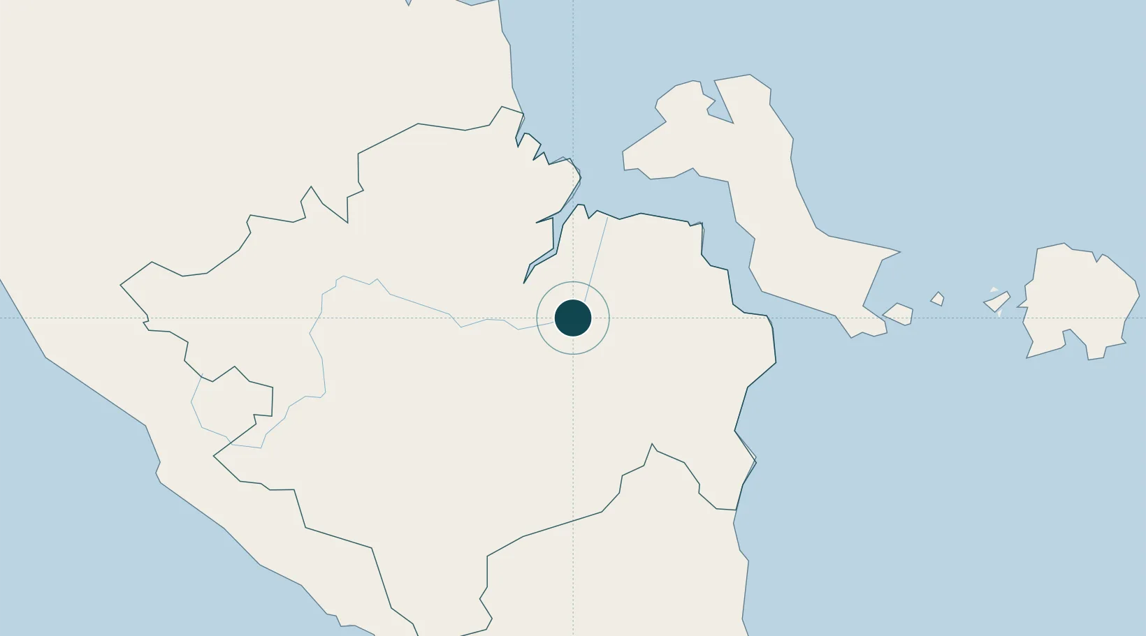
Location
Nearby Logistics Neighbours
Ports
- 1Palembang7 km
- 2Muntok108 km
- 3Pangkalpinang174 km
- 4Toboali180 km
- 5Blinyu184 km
Cities
- 1Plaju, Sumatra4 km
- 2Palembang, Sumatra6 km
- 3Exspan136 km
- 4Serdang180 km
- 5Toboali185 km
Airports
- 1Sultan Mahmud Badaruddin II Airport18 km
- 2Pendopo Airport111 km
- 3Depati Amir Airport171 km
- 4Sultan Thaha Airport200 km
- 5Radin Inten II International Airport255 km
Trade Zones
DatabookThe Record of Consolidated Knowledge
Indonesia beyond logistics?