Medium airport · Indonesia

Radin Inten II International AirportWILL
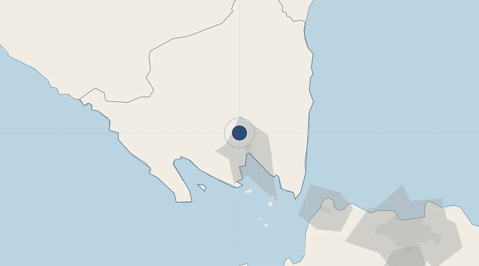
-5.2468°, 105.1825°
9,088 ft
Longest runway
1
Runways
282 ft
Elevation

Runway & Layout

Radin Inten II International Airport runway & taxiway layout
Runway & taxiway layout — OpenStreetMap (ODbL) / OurAirports

Radio Frequencies

TWR
122.4 MHz
INTEN TWR
OurAirports

Navaids

TF NDB Bandar Lampung 290 kHz
TKG VOR-DME Bandar Lampung 115.00 MHz
OurAirports

Runways · 1

RunwayDimensions SurfaceTrue headingLit
14/32 9,088 × 148ft ASPH 140°
OurAirports

Airport Specifications

IATA code
TKG
OurAirports
ICAO code
WILL
OurAirports
Airport class
Medium airport
OurAirports
Scheduled service
Yes
OurAirports
Runway surface
ASPH
OurAirports
Served city
Bandar Lampung
OurAirports

Location

Location of WILL
Natural Earth 10m (public domain) · Lampung · WILL · -5.25, 105.18GoogleOSMYandex

Nearby Logistics Neighbours

Airports
  1. 1Soekarno-Hatta International Airport190 km
  2. 2Halim Perdanakusuma International Airport221 km
  3. 3Pendopo Airport262 km
  4. 4Sultan Mahmud Badaruddin II Airport267 km
  5. 5Husein Sastranegara International Airport322 km
Nearest neighbours — logibook spatial index (haversine) over the source coordinates
Cities
  1. 1Panjang (Lampung, Sumatra)24 km
  2. 2Panjang29 km
  3. 3Tarahan41 km
  4. 4Anyer Kidul120 km
  5. 5Ciwandan121 km
Nearest neighbours — logibook spatial index (haversine) over the source coordinates
Ports
  1. 1Panjang29 km
  2. 2Merak Mas Terminal117 km
  3. 3Tanjung Sekong117 km
  4. 4Anyer Lor121 km
  5. 5Banten122 km
Nearest neighbours — logibook spatial index (haversine) over the source coordinates
Trade Zones
  1. 1Krakatau Industrial Estate - Cilegon124 km
  2. 2Wilmar Integrated Industrial Park133 km
  3. 3KEK Tanjung Lesung148 km
  4. 4ModernCikande Industrial Estate166 km
  5. 5Millenium Industrial Estate184 km
Nearest neighbours — logibook spatial index (haversine) over the source coordinates
DatabookThe Record of Consolidated Knowledge
Indonesia beyond logistics?
Browse databook

All Sources

AirportsOurAirports
Public domain
Portsthe NGA World Port Index
Public domain (US gov)
LocationsUN/LOCODE
UN/LOCODE — free
Trade Zonesthe World Bank SEZ database
CC BY 4.0
Trade ZonesOpen Zone Map
CC BY
InfrastructureOpenStreetMap
ODbL 1.0
← Indonesia airports