Diversified Zone · Indonesia

Wilmar Integrated Industrial Park Active
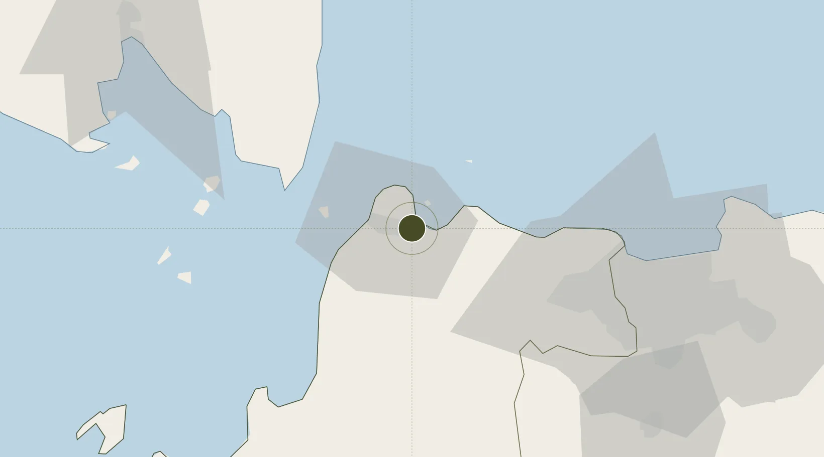
-6.0086°, 106.1044°
1,748 ha
Zone area
15.3 km
Nearest port
62.4 km
Nearest airport

Gateway access

Nearest neighbours — logibook spatial index (haversine) over the source coordinates

Zone profile

Zone type
Diversified Zone
Open Zone Map
Region
Banten
Open Zone Map
Status
Active
Open Zone Map
Management
Private
Open Zone Map
Operator
Wilmar Group Indonesia
Open Zone Map
Legal framework
The Law No 3. Article 106, issued in 2014
Open Zone Map

Location

Location of ozm-2403
Natural Earth 10m (public domain) · Banten · ozm-2403 · -6.01, 106.10GoogleOSMYandex

Nearby Logistics Neighbours

Ports
  1. 1Banten15 km
  2. 2Tanjung Sekong15 km
  3. 3Merak Mas Terminal16 km
  4. 4Anyer Lor21 km
  5. 5Jakarta87 km
Nearest neighbours — logibook spatial index (haversine) over the source coordinates
Airports
  1. 1Soekarno-Hatta International Airport62 km
  2. 2Halim Perdanakusuma International Airport92 km
  3. 3Radin Inten II International Airport133 km
  4. 4Husein Sastranegara International Airport191 km
  5. 5Kertajati International Airport239 km
Nearest neighbours — logibook spatial index (haversine) over the source coordinates
Cities
  1. 1Ciwandan17 km
  2. 2Anyer Kidul25 km
  3. 3Cikande35 km
  4. 4Koja45 km
  5. 5Kembangan72 km
Nearest neighbours — logibook spatial index (haversine) over the source coordinates
Trade Zones
  1. 1Krakatau Industrial Estate - Cilegon10 km
  2. 2ModernCikande Industrial Estate33 km
  3. 3Millenium Industrial Estate52 km
  4. 4KEK Tanjung Lesung73 km
  5. 5BSD City Industrial Estate73 km
Nearest neighbours — logibook spatial index (haversine) over the source coordinates
DatabookThe Record of Consolidated Knowledge
Indonesia beyond logistics?
Browse databook

All Sources

Trade ZonesOpen Zone Map
CC BY
Portsthe NGA World Port Index
Public domain (US gov)
AirportsOurAirports
Public domain
LocationsUN/LOCODE
UN/LOCODE — free
← Indonesia trade zones