Transport Functions
Port
Road
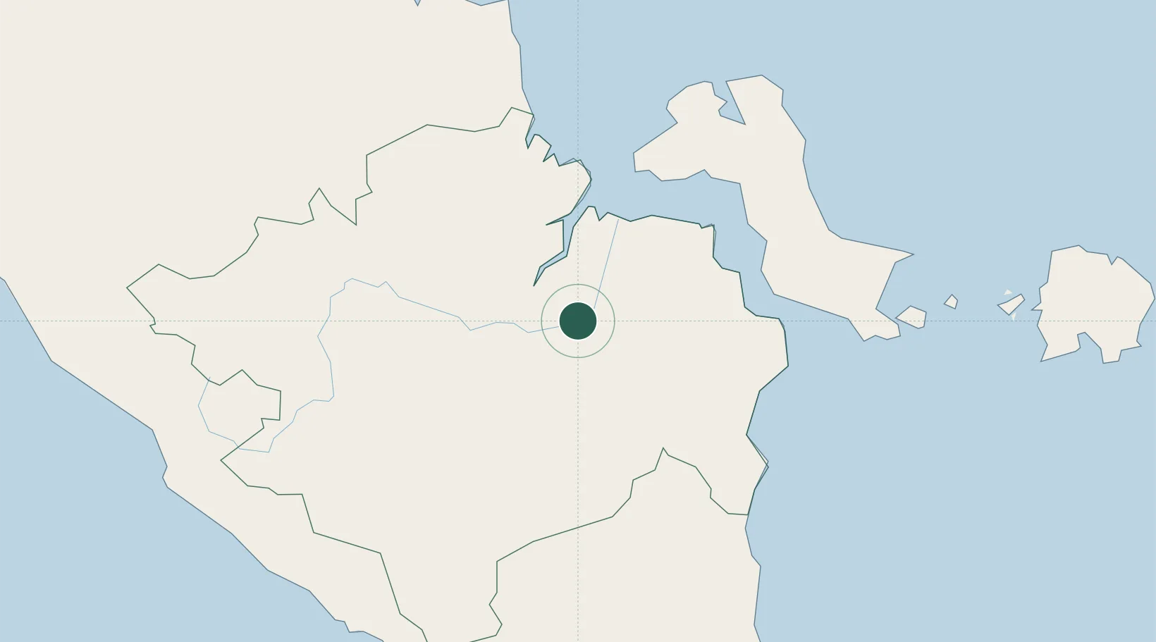
Location
Nearby Logistics Neighbours
Cities
- 1Palembang, Sumatra2 km
- 2Exspan137 km
- 3Serdang184 km
- 4Toboali189 km
- 5Jambi, Sumatra202 km
Ports
- 1Palembang4 km
- 2Sungaigerong4 km
- 3Muntok110 km
- 4Pangkalpinang177 km
- 5Toboali183 km
Airports
- 1Sultan Mahmud Badaruddin II Airport15 km
- 2Pendopo Airport108 km
- 3Depati Amir Airport175 km
- 4Sultan Thaha Airport197 km
- 5Radin Inten II International Airport255 km
Trade Zones
DatabookThe Record of Consolidated Knowledge
Indonesia beyond logistics?