Seaport · Indonesia
SemarangIDSRG
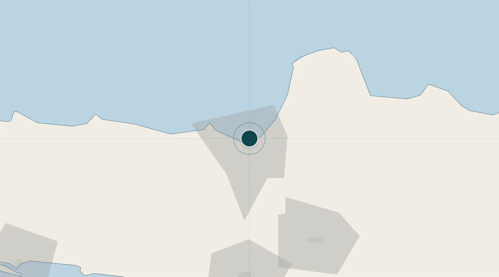
-6.9500°, 110.4167°
7.9 m
Channel depth
1
Container terminals
166.8
Port liner connectivity
Channel & Berth Profile
Pilotage, Tugs & Services
Pilotage compulsoryYES
Pilotage availableYES
Pilotage advisableYES
Tug assistanceYES
Salvage tugsNO
Shore powerYES
Potable waterYES
Diesel bunkersYES
MedicalYES
Garbage disposalNO
Facilities & Capabilities
Container—
Ro-Ro—
Liquid bulk—
Dry bulk—
Oil terminal—
Break bulk—
Dry dockNO
RepairsNO
BunkeringYES
Rail linkYES
Dangerous cargo—
ISPS security—
Harbour Specifications
Harbour size
Small
Harbour type
Open Roadstead
Shelter
Good
Water body
Java Sea; South Pacific Ocean
Pilotage
Yes
Liner Connectivity
166.8
PLSCI
Port Liner Shipping Connectivity Index for Semarang, as published by UNCTAD for the latest available quarter. Higher values indicate stronger scheduled liner-shipping integration.
Shown relative to the highest per-port PLSCI in the dataset (1,657.9).
Location
Container Terminals · 1
TERMINAL PETIKEMAS SEMARANG
TPKS PT PELINDO TERMINAL PETIKEMAS (SPTP)
Nearby Logistics Neighbours
Ports
- 1Pekalongan80 km
- 2Rembang107 km
- 3Tegal142 km
- 4Cilacap179 km
- 5Tuban193 km
Cities
- 1Demak25 km
- 2Karangjati (Kodya Salatiga)39 km
- 3Tawangsari40 km
- 4Temanggung48 km
- 5Jepara48 km
Airports
Trade Zones
DatabookThe Record of Consolidated Knowledge
Indonesia beyond logistics?