Transport Functions
Multimodal
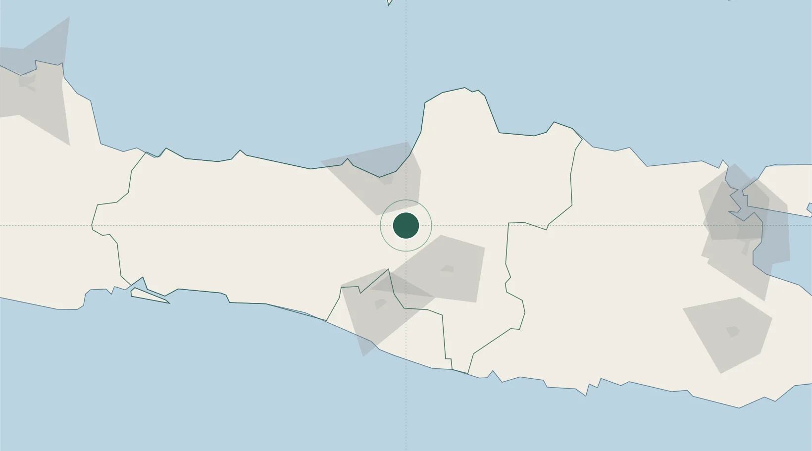
Hub Profile
Place type
Populated place
Region
Central Java
Time zone
Asia/Jakarta
Elevation
389 m
Location
Nearby Logistics Neighbours
Cities
- 1Karangjati (Kodya Salatiga)3 km
- 2Semarang40 km
- 3Temanggung42 km
- 4Demak45 km
- 5Klaten47 km
Ports
- 1Semarang40 km
- 2Pekalongan106 km
- 3Rembang110 km
- 4Tegal164 km
- 5Cilacap178 km
Airports
Trade Zones
DatabookThe Record of Consolidated Knowledge
Indonesia beyond logistics?