UN/LOCODE hub · Indonesia
IDSRG
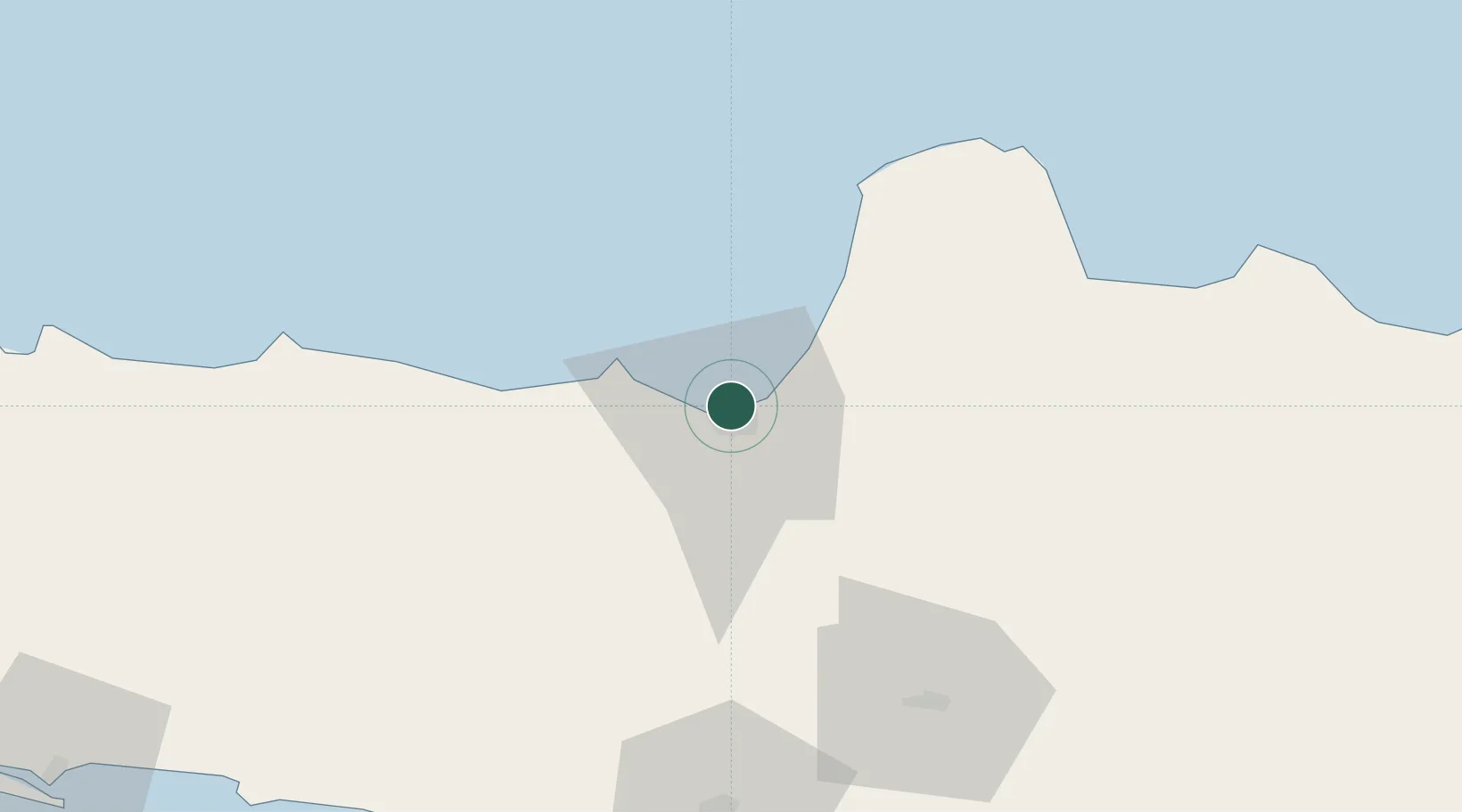
Semarang
-6.9541°, 110.4123°
1,653,524
Population
4
Transport functions
1
Container terminals
Transport Functions
Port
Road
Airport
Postal
Hub Profile
Place type
Regional capital
Region
Central Java
Population
1,653,524
Time zone
Asia/Jakarta
Elevation
18 m
Logistics facilities
19
Container terminals
1
Location
Nearby Logistics Neighbours
Cities
- 1Demak26 km
- 2Karangjati (Kodya Salatiga)39 km
- 3Tawangsari40 km
- 4Temanggung47 km
- 5Jepara49 km
Ports
- 1Pekalongan80 km
- 2Rembang107 km
- 3Tegal142 km
- 4Cilacap178 km
- 5Tuban193 km
Airports
Trade Zones
DatabookThe Record of Consolidated Knowledge
Indonesia beyond logistics?