Transport Functions
Port
Hub Profile
Place type
Provincial seat
Region
Central Java
Population
1,257,912
Time zone
Asia/Jakarta
Elevation
5 m
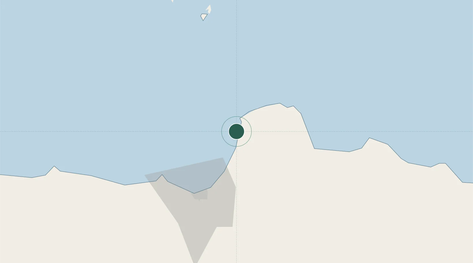
Location
Nearby Logistics Neighbours
Cities
- 1Demak33 km
- 2Semarang49 km
- 3Karangjati (Kodya Salatiga)77 km
- 4Tawangsari79 km
- 5Temanggung96 km
Ports
- 1Semarang48 km
- 2Rembang78 km
- 3Pekalongan109 km
- 4Tuban167 km
- 5Tegal170 km
Airports
- 1Jenderal Ahmad Yani Airport53 km
- 2Dewadaru Airport89 km
- 3Adisumarmo Airport104 km
- 4Adisutjipto International Airport136 km
- 5Yogyakarta International Airport161 km
Trade Zones
DatabookThe Record of Consolidated Knowledge
Indonesia beyond logistics?