Diversified Zone · Indonesia

Bukit Semarang Baru Industrial Park Active
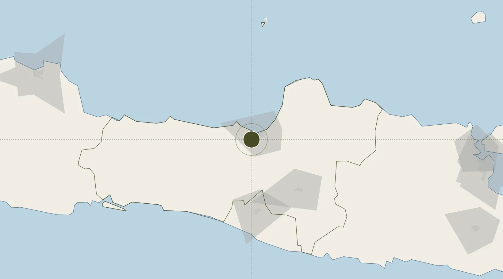
-7.0424°, 110.3281°
115 ha
Zone area
14.2 km
Nearest port
9.4 km
Nearest airport

Gateway access

Nearest neighbours — logibook spatial index (haversine) over the source coordinates

Zone profile

Zone type
Diversified Zone
Open Zone Map
Region
Jawa Tengah
Open Zone Map
Status
Active
Open Zone Map
Management
Public-Private Partnership
Open Zone Map
Operator
PT Karyadeka Alam Lestari
Open Zone Map
Legal framework
The Law No 3. Article 106, issued in 2014
Open Zone Map

Location

Location of ozm-2341
Natural Earth 10m (public domain) · Jawa Tengah · ozm-2341 · -7.04, 110.33GoogleOSMYandex

Nearby Logistics Neighbours

Ports
  1. 1Semarang14 km
  2. 2Pekalongan73 km
  3. 3Rembang119 km
  4. 4Tegal134 km
  5. 5Cilacap165 km
Nearest neighbours — logibook spatial index (haversine) over the source coordinates
Airports
  1. 1Jenderal Ahmad Yani Airport9 km
  2. 2Adisumarmo Airport71 km
  3. 3Adisutjipto International Airport84 km
  4. 4Yogyakarta International Airport101 km
  5. 5Dewadaru Airport139 km
Nearest neighbours — logibook spatial index (haversine) over the source coordinates
Cities
  1. 1Semarang14 km
  2. 2Temanggung34 km
  3. 3Karangjati (Kodya Salatiga)36 km
  4. 4Tawangsari36 km
  5. 5Demak38 km
Nearest neighbours — logibook spatial index (haversine) over the source coordinates
Trade Zones
  1. 1Wijayakusuma Industrial Estate7 km
  2. 2Candi Industrial Estate11 km
  3. 3KEK Kendal15 km
  4. 4Tanjung Emas Export Processing Zone15 km
  5. 5Terboyo Industrial Estate19 km
Nearest neighbours — logibook spatial index (haversine) over the source coordinates
DatabookThe Record of Consolidated Knowledge
Indonesia beyond logistics?
Browse databook

All Sources

Trade ZonesOpen Zone Map
CC BY
Portsthe NGA World Port Index
Public domain (US gov)
AirportsOurAirports
Public domain
LocationsUN/LOCODE
UN/LOCODE — free
← Indonesia trade zones