Channel & Berth Profile
Pilotage, Tugs & Services
Pilotage compulsoryNO
Pilotage availableNO
Pilotage advisableNO
Local assistanceNO
Tug assistanceYES
Potable waterYES
MedicalNO
Facilities & Capabilities
Container—
Ro-Ro—
Liquid bulk—
Dry bulk—
Oil terminal—
Break bulk—
Dry dockNO
RepairsNO
BunkeringYES
Rail linkYES
Dangerous cargo—
ISPS security—
Harbour Specifications
Harbour size
Very Small
Harbour type
Open Roadstead
Shelter
Fair
Water body
Java Sea; South Pacific Ocean
Pilotage
No
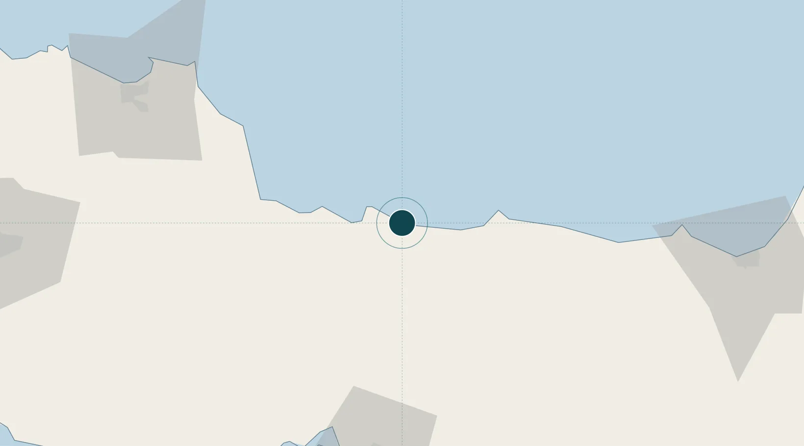
Location
Nearby Logistics Neighbours
Ports
- 1Pekalongan63 km
- 2Cirebon64 km
- 3Cilacap99 km
- 4Semarang142 km
- 5Ardjuna Oil Field190 km
Cities
- 1Banjaran55 km
- 2Cirebon (Tjeribon)64 km
- 3Batang69 km
- 4Balongan96 km
- 5Cilacap (Tjilatjap)99 km
Airports
- 1Tunggul Wulung Airport89 km
- 2Kertajati International Airport109 km
- 3Nusawiru Airport120 km
- 4Jenderal Ahmad Yani Airport138 km
- 5Yogyakarta International Airport155 km
Trade Zones
- 1KEK Kendal123 km
- 2Bukit Semarang Baru Industrial Park134 km
- 3Wijayakusuma Industrial Estate134 km
- 4Candi Industrial Estate139 km
- 5Tanjung Emas Export Processing Zone143 km
DatabookThe Record of Consolidated Knowledge
Indonesia beyond logistics?