Small airport · Indonesia
Dewadaru AirportWAHU
-5.8009°, 110.4784°
3,937 ft
Longest runway
1
Runways
35 ft
Elevation
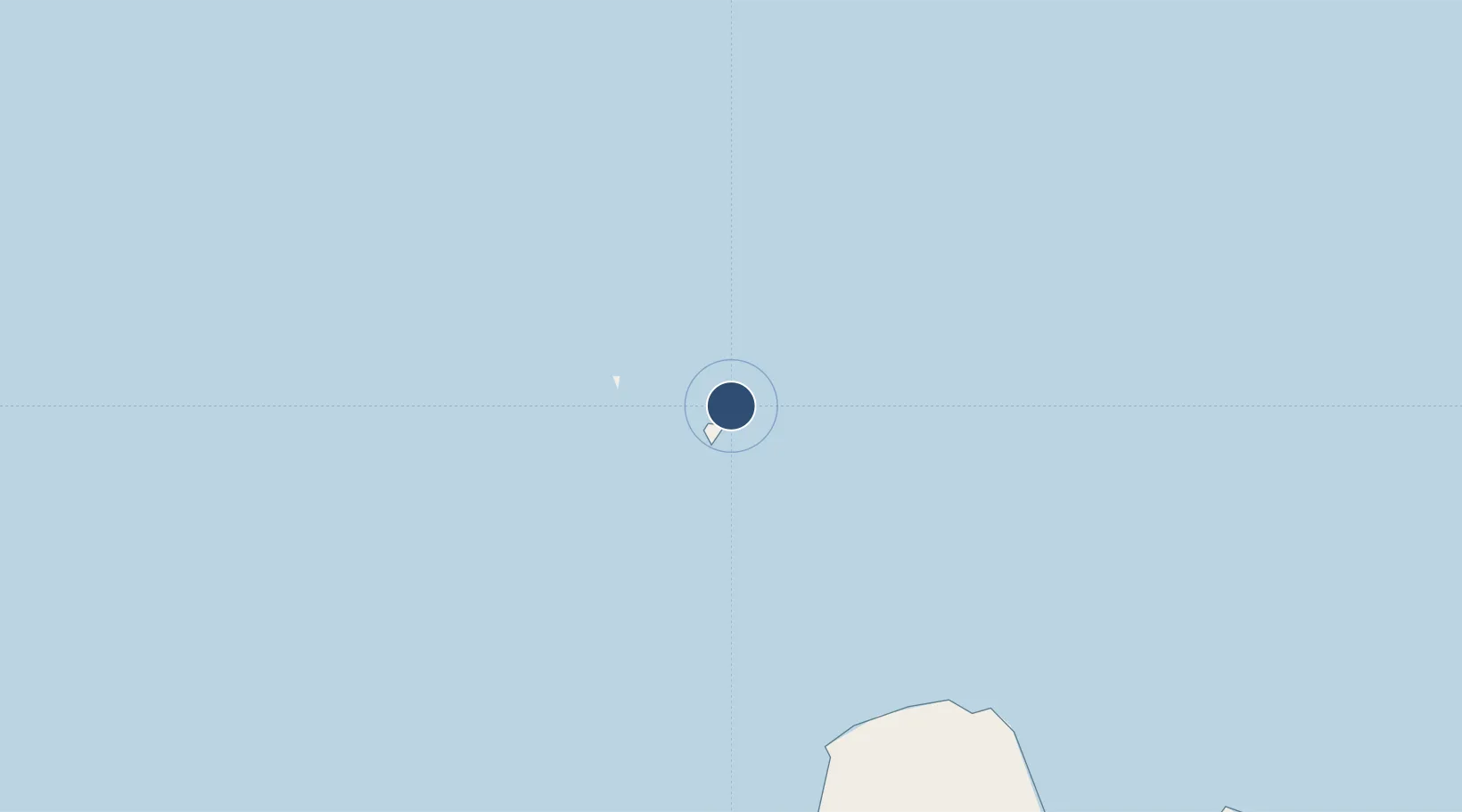
Runway & Layout

Radio Frequencies
NDB
0.336 MHz
KJ
SSB
7.4 MHz
Karimunjawa Radio
VHF
121.3 MHz
Dewadaru Info
VOR
117.3 MHz
KRJ
Runways · 1
| Runway | Dimensions | Surface | True heading | Lit |
|---|---|---|---|---|
| 13/31 | 3,937 × 98ft | Asphalt | — | — |
Airport Specifications
IATA code
KWB
ICAO code
WAHU
Airport class
Small airport
Scheduled service
Yes
Runway surface
Asphalt
Served city
Karimunjawa
Location
Nearby Logistics Neighbours
Airports
- 1Jenderal Ahmad Yani Airport131 km
- 2Adisumarmo Airport193 km
- 3Adisutjipto International Airport221 km
- 4Yogyakarta International Airport239 km
- 5Tunggul Wulung Airport260 km
Cities
- 1Jepara89 km
- 2Demak122 km
- 3Semarang128 km
- 4Batang148 km
- 5Karangjati (Kodya Salatiga)163 km
Ports
- 1Semarang128 km
- 2Rembang139 km
- 3Pekalongan145 km
- 4Tegal189 km
- 5Tuban212 km
Trade Zones
- 1Jatengland Industrial Park Sayung126 km
- 2Tanjung Emas Export Processing Zone128 km
- 3Terboyo Industrial Estate128 km
- 4KEK Kendal129 km
- 5Candi Industrial Estate130 km
DatabookThe Record of Consolidated Knowledge
Indonesia beyond logistics?