Seaport · Indonesia

CilacapIDCXP

-7.7333°, 109.0000°
11.0 m
Channel depth
Cilacap is also a UN/LOCODE logistics hub →

Channel & Berth Profile

SEA LEVEL (CD)CHANNEL BEDChannel · 11.0 mCargo pier · 11.0 mOil terminal · 11.0 mAnchorage · 20.1 m
NGA World Port Index

Pilotage, Tugs & Services

Pilotage compulsoryYES
Pilotage availableYES
Tug assistanceYES
Salvage tugsNO
Shore powerYES
Potable waterYES
Diesel bunkersYES
MedicalYES
NGA World Port Index

Facilities & Capabilities

Container
Ro-Ro
Liquid bulk
Dry bulk
Oil terminal
Break bulk
Dry dock
RepairsNO
BunkeringYES
Rail link
Dangerous cargo
ISPS security
NGA World Port Index

Harbour Specifications
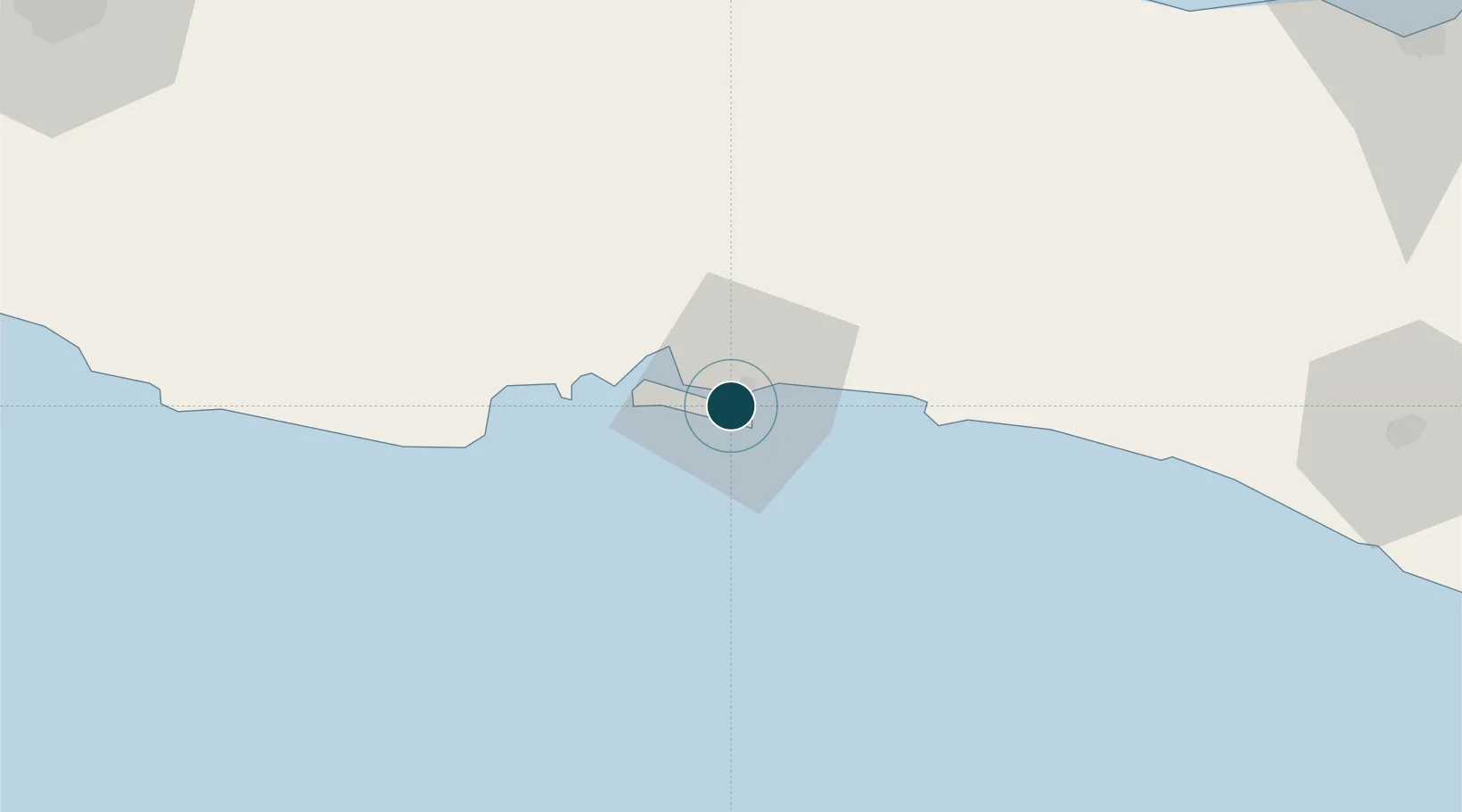
Harbour size
Large
NGA World Port Index
Harbour type
Coastal (Natural)
NGA World Port Index
Shelter
Excellent
NGA World Port Index
Water body
Indian Ocean
NGA World Port Index
Tidal range
1 m
NGA World Port Index
Pilotage
Yes
NGA World Port Index

Location

Location of IDCXP
Natural Earth 10m (public domain) · Jawa Tengah · IDCXP · -7.73, 109.00GoogleOSMYandex

Nearby Logistics Neighbours

Ports
  1. 1Tegal99 km
  2. 2Cirebon123 km
  3. 3Pekalongan125 km
  4. 4Semarang179 km
  5. 5Ardjuna Oil Field250 km
Nearest neighbours — logibook spatial index (haversine) over the source coordinates
Cities
  1. 1Banjaran64 km
  2. 2Wonosobo107 km
  3. 3Cirebon (Tjeribon)121 km
  4. 4Batang123 km
  5. 5Temanggung137 km
Nearest neighbours — logibook spatial index (haversine) over the source coordinates
Airports
  1. 1Tunggul Wulung Airport11 km
  2. 2Nusawiru Airport56 km
  3. 3Yogyakarta International Airport118 km
  4. 4Kertajati International Airport152 km
  5. 5Adisutjipto International Airport158 km
Nearest neighbours — logibook spatial index (haversine) over the source coordinates
Trade Zones
  1. 1Rancaekek Industrial Estate158 km
  2. 2KEK Kendal164 km
  3. 3Bukit Semarang Baru Industrial Park165 km
  4. 4Wijayakusuma Industrial Estate170 km
  5. 5Candi Industrial Estate175 km
Nearest neighbours — logibook spatial index (haversine) over the source coordinates
DatabookThe Record of Consolidated Knowledge
Indonesia beyond logistics?
Browse databook

All Sources

Portsthe NGA World Port Index
Public domain (US gov)
AirportsOurAirports
Public domain
LocationsUN/LOCODE
UN/LOCODE — free
Trade Zonesthe World Bank SEZ database
CC BY 4.0
Trade ZonesOpen Zone Map
CC BY
← Indonesia ports