Transport Functions
Multimodal
Hub Profile
Place type
Provincial seat
Region
Central Java
Population
27,251
Time zone
Asia/Jakarta
Elevation
9 m
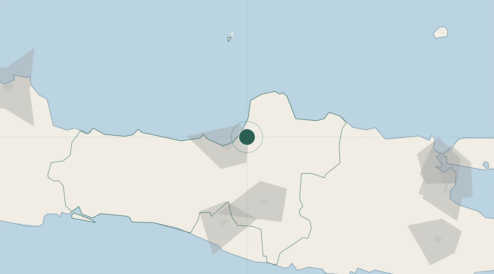
Location
Nearby Logistics Neighbours
Cities
- 1Semarang26 km
- 2Jepara33 km
- 3Karangjati (Kodya Salatiga)43 km
- 4Tawangsari45 km
- 5Temanggung69 km
Ports
- 1Semarang25 km
- 2Rembang82 km
- 3Pekalongan103 km
- 4Tegal166 km
- 5Tuban168 km
Airports
- 1Jenderal Ahmad Yani Airport30 km
- 2Adisumarmo Airport72 km
- 3Adisutjipto International Airport103 km
- 4Dewadaru Airport122 km
- 5Yogyakarta International Airport130 km
Trade Zones
DatabookThe Record of Consolidated Knowledge
Indonesia beyond logistics?