Industrial Estate · Indonesia

Wijayakusuma Industrial Estate Active
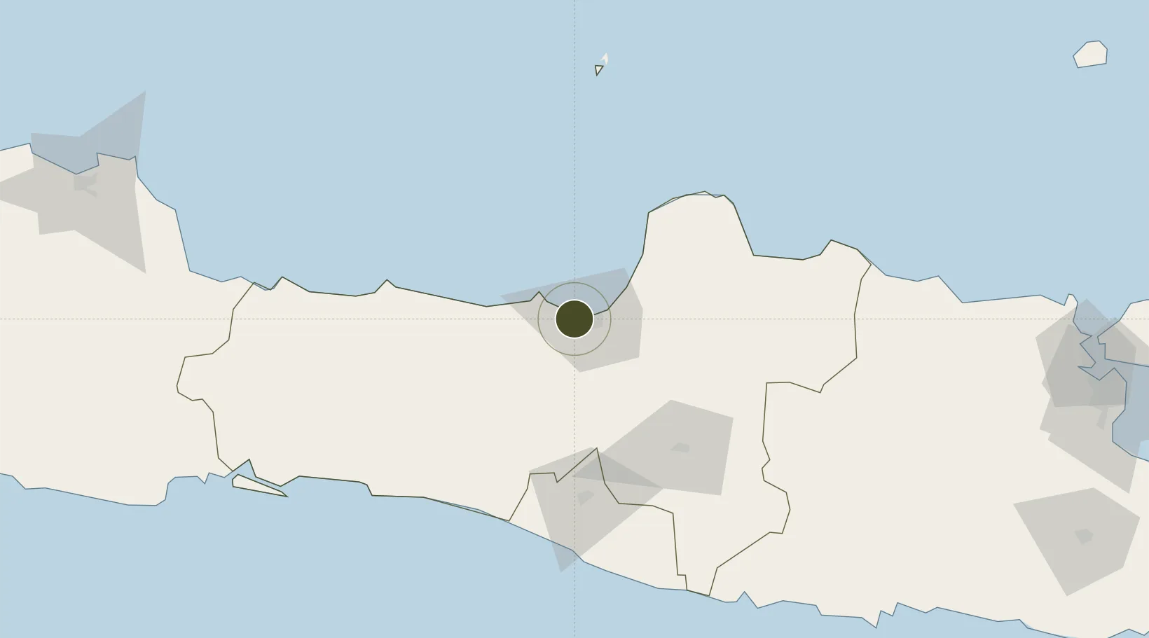
-6.9790°, 110.3373°
250 ha
Zone area
9.3 km
Nearest port
4.1 km
Nearest airport

Gateway access

Nearest neighbours — logibook spatial index (haversine) over the source coordinates

Zone profile

Zone type
Industrial Estate
the World Bank SEZ database
Region
Jawa Tengah
the World Bank SEZ database
Status
Active
the World Bank SEZ database
Established
Under review
the World Bank SEZ database
Management
State-owned enterprise
the World Bank SEZ database
Operator
PT Wijayakusuma Industrial Zone (Persero)
the World Bank SEZ database
Regulatory authority
Industrial Estate Authority of Indonesia*
the World Bank SEZ database
Legal framework
Government Regulation No 142/2015
the World Bank SEZ database

Location

Location of IDN33
Natural Earth 10m (public domain) · Jawa Tengah · IDN33 · -6.98, 110.34GoogleOSMYandex

Fiscal & incentives

Corporate tax
25%
the World Bank SEZ database
Tax relief
Under review
the World Bank SEZ database
Relief duration
Under review
the World Bank SEZ database
VAT
Under review
the World Bank SEZ database
Import duty (inputs)
Under review
the World Bank SEZ database
Import duty (capex)
Under review
the World Bank SEZ database
Profit repatriation
Under review
the World Bank SEZ database
Capital gains
Under review
the World Bank SEZ database
Withholding tax
Under review
the World Bank SEZ database
Min. investment
None
the World Bank SEZ database
Min. export
0%
the World Bank SEZ database
Employment incentive
Under review
the World Bank SEZ database
Developer incentive
No established framework
the World Bank SEZ database

Nearby Logistics Neighbours

Ports
  1. 1Semarang9 km
  2. 2Pekalongan72 km
  3. 3Rembang116 km
  4. 4Tegal134 km
  5. 5Cilacap170 km
Nearest neighbours — logibook spatial index (haversine) over the source coordinates
Airports
  1. 1Jenderal Ahmad Yani Airport4 km
  2. 2Adisumarmo Airport76 km
  3. 3Adisutjipto International Airport91 km
  4. 4Yogyakarta International Airport108 km
  5. 5Dewadaru Airport132 km
Nearest neighbours — logibook spatial index (haversine) over the source coordinates
Cities
  1. 1Semarang9 km
  2. 2Demak34 km
  3. 3Temanggung40 km
  4. 4Karangjati (Kodya Salatiga)41 km
  5. 5Tawangsari41 km
Nearest neighbours — logibook spatial index (haversine) over the source coordinates
Trade Zones
  1. 1Candi Industrial Estate6 km
  2. 2Bukit Semarang Baru Industrial Park7 km
  3. 3Tanjung Emas Export Processing Zone11 km
  4. 4KEK Kendal11 km
  5. 5Terboyo Industrial Estate15 km
Nearest neighbours — logibook spatial index (haversine) over the source coordinates
DatabookThe Record of Consolidated Knowledge
Indonesia beyond logistics?
Browse databook

All Sources

Trade Zonesthe World Bank SEZ database
CC BY 4.0
Portsthe NGA World Port Index
Public domain (US gov)
AirportsOurAirports
Public domain
LocationsUN/LOCODE
UN/LOCODE — free
← Indonesia trade zones