Export Processing Zone · Indonesia

Tanjung Emas Export Processing Zone Active
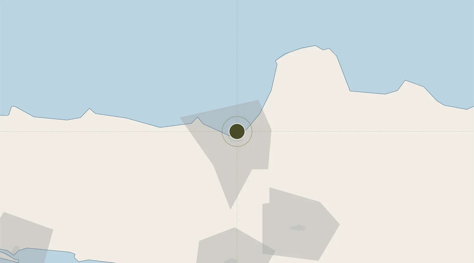
-6.9484°, 110.4281°
30 ha
Zone area
1.3 km
Nearest port
6.5 km
Nearest airport

Gateway access

Nearest neighbours — logibook spatial index (haversine) over the source coordinates

Zone profile

Zone type
Export Processing Zone
Open Zone Map
Region
Jawa Tengah
Open Zone Map
Status
Active
Open Zone Map
Management
Public-Private Partnership
Open Zone Map
Operator
PT Lamicitra Nusantara
Open Zone Map
Legal framework
Law Number 39 Of 2009 Concerning Special Economic Zones
Open Zone Map

Location

Location of ozm-2431
Natural Earth 10m (public domain) · Jawa Tengah · ozm-2431 · -6.95, 110.43GoogleOSMYandex

Nearby Logistics Neighbours

Ports
  1. 1Semarang1 km
  2. 2Pekalongan81 km
  3. 3Rembang106 km
  4. 4Tegal143 km
  5. 5Cilacap180 km
Nearest neighbours — logibook spatial index (haversine) over the source coordinates
Airports
  1. 1Jenderal Ahmad Yani Airport7 km
  2. 2Adisumarmo Airport73 km
  3. 3Adisutjipto International Airport93 km
  4. 4Yogyakarta International Airport114 km
  5. 5Dewadaru Airport128 km
Nearest neighbours — logibook spatial index (haversine) over the source coordinates
Cities
  1. 1Semarang2 km
  2. 2Demak24 km
  3. 3Karangjati (Kodya Salatiga)39 km
  4. 4Tawangsari40 km
  5. 5Jepara47 km
Nearest neighbours — logibook spatial index (haversine) over the source coordinates
Trade Zones
  1. 1Terboyo Industrial Estate5 km
  2. 2Candi Industrial Estate5 km
  3. 3Wijayakusuma Industrial Estate11 km
  4. 4Jatengland Industrial Park Sayung14 km
  5. 5Bukit Semarang Baru Industrial Park15 km
Nearest neighbours — logibook spatial index (haversine) over the source coordinates
DatabookThe Record of Consolidated Knowledge
Indonesia beyond logistics?
Browse databook

All Sources

Trade ZonesOpen Zone Map
CC BY
Portsthe NGA World Port Index
Public domain (US gov)
AirportsOurAirports
Public domain
LocationsUN/LOCODE
UN/LOCODE — free
← Indonesia trade zones